
Cities For People
-
OP-ED: Their Third Space
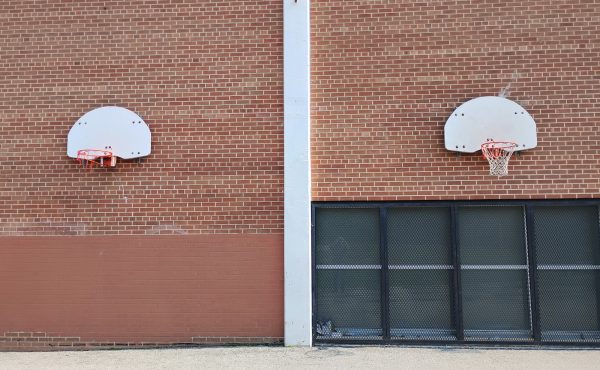
There’s a new phrase floating around our house since March Break ended. My 15-year-old came home and declared, “I’ve outgrown summer camp.” He said it in...
By Lanrick Bennett -
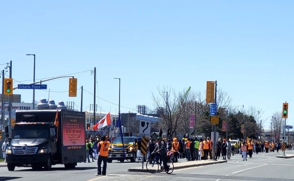
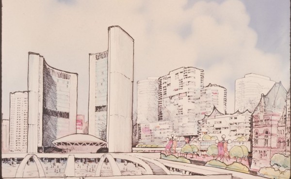
A city that prioritizes people, not just cars
A Vision for Pedestrian-Filled Streets On the last Sunday in April, thousands of people flooded downtown Toronto for the Khalsa Day parade, celebrating...
By Lanrick Bennett -
Can I move around and get close to the art?
As part of a set of four posts with Spacing, Artmap.ca / AccessArt is sharing sixteen short videos that feature some of our favourite public art pieces...
By Artmap.ca / AccessArt -
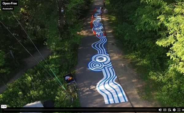
Can I go there? Do I want to go there?
As part of a set of four posts with Spacing, Artmap.ca / AccessArt is sharing sixteen short videos that feature some of our favourite public art pieces...
By Artmap.ca / AccessArt -
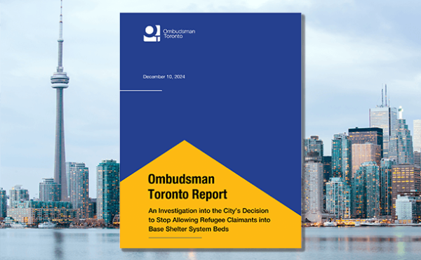
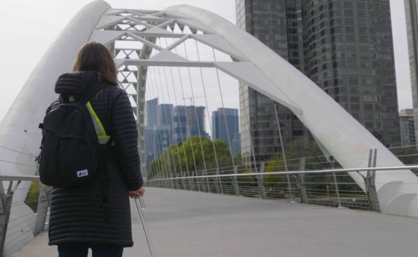
OP-ED: Why Toronto must act on Ombudsman’s recommendations on refugee shelter and housing
On July 2023, refugees from Africa, newly arrived in Canada seeking asylum and protection, camped and slept on the sidewalk in front of the City of...
By Alexandra Flynn and Elizabeth McIsaac -
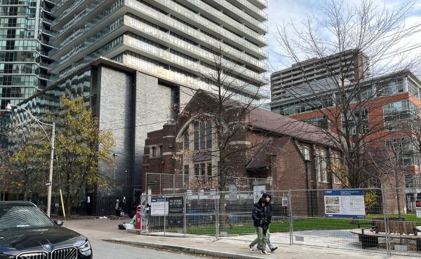
A place of refuge
In the heart of Toronto, where the skyline glitters with glass and steel, a different kind of light flickers—a beacon of hope nestled within the embrace...
By Shiri Yeung -
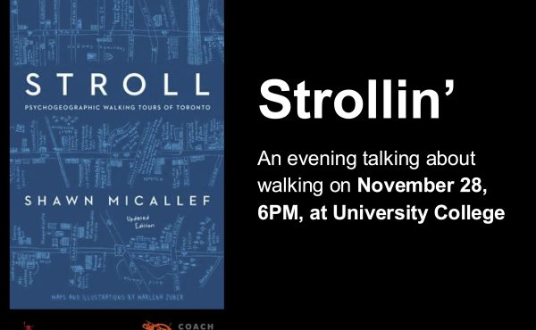
EVENT: Strollin’ — an evening talking about walking November 28
WHAT: An evening talking about walking on November 28 at 6PM. WHO: Shawn Micallef, Spacing Sr. Editor, Toronto Star columnist and University College...
By Spacing -
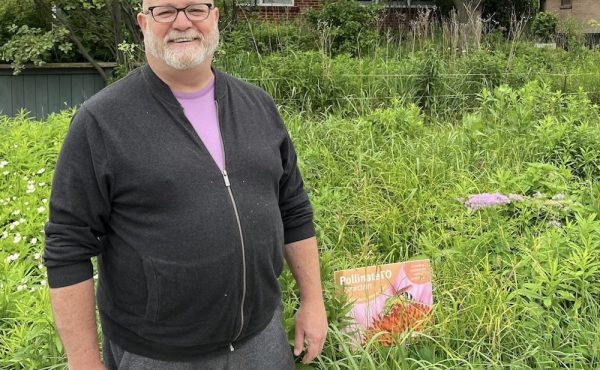
From drainage ditch to vibrant, pollution-absorbing habitat
When Douglas Counter heads out the front door of his Etobicoke home to appreciate the day’s new blooms, he doesn’t have to go far. The flowers are waiting...
By Trent Weston -
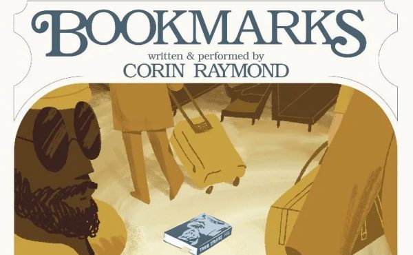
‘I remember where I was when I read that book…’
In the Venn diagram of nerdy pursuits, there is a special place where enthusiasm for public space overlaps with the obsessive and irrational drive to...
By Joseph Wilson -

Book launch of expanded and updated edition of Stroll: Psychogeographic Walking Tours of Toronto
Spacing’s senior editor and co-founder Shawn Micallef has expanded and updated his 2010 book Stroll: Psychogeographic Walking Tours of Toronto. The...
By Spacing -

When is efficient too efficient? Tech lessons from the port city of Hamburg
Cities can have ports, and many do. Moreover, successful ports make for thriving cities. But ports are not cities. They are not models for cities and they...
By Tricia Wood -
City politics in the wake of Ontario’s Bill 5 and lessons for Canadian cities
Last week, two things happened that are useful markers for where Toronto sits in the struggle to manage the impact from Bill 5: a court appeal and a...
By Tricia Wood