
Infrastructure
-
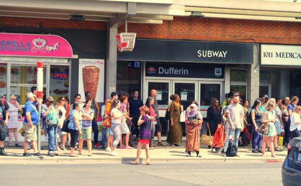
More housing near transit won’t solve Toronto’s affordability crisis
Onah Jung is a Toronto-based architect, urban designer, and founder of Studio Jonah. The City of Toronto recently revealed plans for more housing around...
By Onah Jung -

PODCAST: Spacing Radio 93, Everything Eglinton
To compliment the latest Eglinton-themed issue of Spacing Magazine, we begin with a celebration. Our regular transit commentators Toronto Star columnist...
By Spacing Radio -
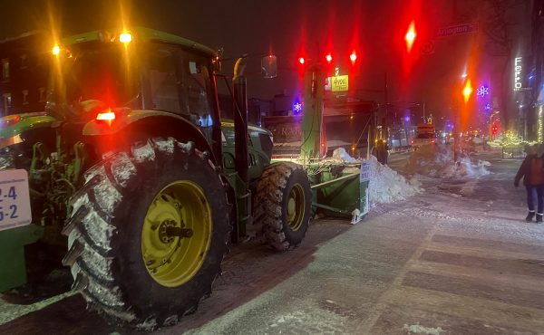
LORINC: The post-snowstorm sidewalk obstacle course
Does the City of Toronto see its network of sidewalks as transportation infrastructure? Officially, the answer is yes. Transportation services, the...
By John Lorinc -
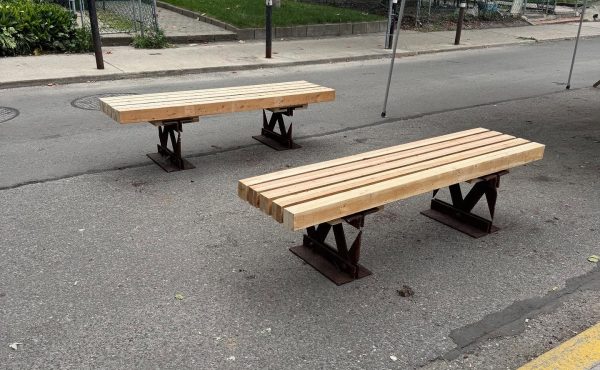
From bridge to bench
Steel girders that used to carry cars across the Don River now carry conversations on a quiet stretch of East Chinatown. Outside Hugh’s Room, two benches...
By Alex Kharabian -

PODCAST: Episode 91, Talking Transit 2025
This year has been one of major change. But what doesn’t change here is talking about transit. It’s the return of Tricia Wood (York University urban...
By Spacing Radio -
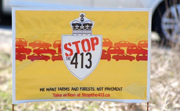
How many more highway lanes?
After more than two decades tucked away as an idea simply not worth the cost, Highway 413 is finally kicking into gear as Premier Doug Ford’s...
By Michel Nayrouz -

LORINC: Is the 401 Tunnel an off-ramp or money pit?
According to Doug Ford, his pal the prime minister is giving serious consideration to elevating the premier’s 401-tunnel scheme from the muck deep...
By John Lorinc -

Understanding the elusiveness of Smart Cities
As Canadian cities strive to navigate rapid urbanization, climate change, and digital disruption, “smart city” strategies have emerged as a popular, and...
By Zachary Spicer -

PODCAST: Spacing Radio 088, Big City Mayor Takes on Canadian Housing
In this episode, with Prime Minister Mark Carney’s pick of former Vancouver Mayor Gregor Robertson as Minister of Housing and Infrastructure, we...
By Glyn Bowerman -
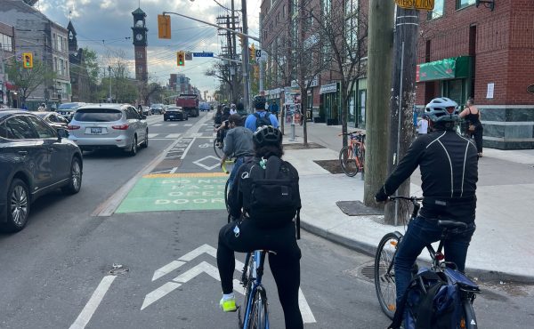
Reversing the Ford government’s biking backlash
At a time when Washington has launched a scorched earth attack on virtually all federal climate policies, the Ford government’s hyper-partisan...
By John Lorinc -
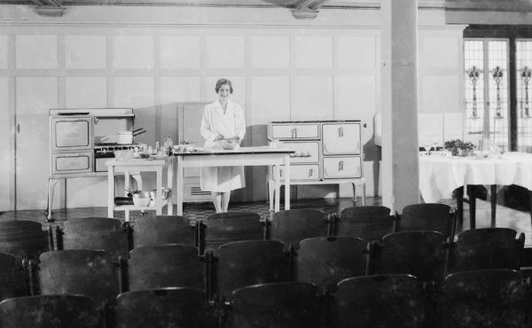
Toronto, City of Gas, 1909-1936, Part 2
The virtual exhibition that accompanied Part 1 of my article on Micklethwaite Studio’s photography for Consumers’ Gas included a wide range of...
By Peter MacCallum -
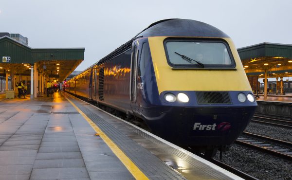
High speed rail arrives at a low speed… again
It’s curious and quaint how successive generations of federal Liberals rekindle their (rhetorical) affection for high-speed rail (HSR) at almost...
By John Lorinc