EDITOR’S NOTE: Based on feedback from an earlier post on urban density, Spacing Atlantic will feature one of the top five dense residential neighbourhoods in Atlantic Canada each week. No case of the Mondays here!
![]()
So, why density? Residential density, the number of people living in a given area, is one of the most important characterisitcs of urban areas. High densities create vibrant streets, support main street commercial areas, and encourage walking, biking and transit use. But how dense should our neighbourhoods be? What types of buildings create high densities? What do high density neighbourhoods look like?
Hopefully this series encourages people to look around their neighbourhood and ask: how does density affect the quality of my neighbourhood?
Without further ado…
5 – St. John’s (Downtown), Newfoundland & Labrador
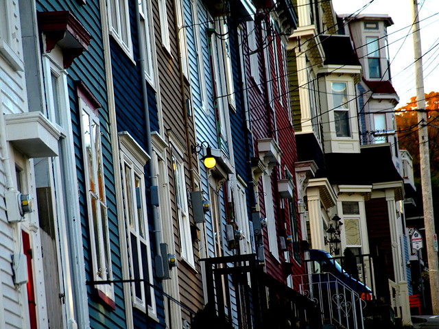
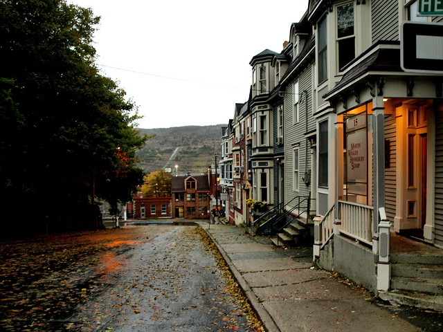
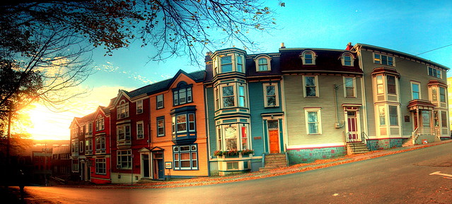
As one of North America’s oldest cities, it is not surprising to see St. John’s on our countdown. Downtown St. John’s is a great example, not only is downtown a dense residential neighbourhood, it is also St. John’s commercial and entertainment centre. Located on a hill overlooking the harbour, downtown has narrow streets that climb the hill in an irregular pattern. Commercial buildings, small apartment buildings and brightly coloured rowhouses line the streets. Many buildings in the downtown date from the late 19th century; and similar to other old cities, fires destroyed large swaths of the city numerous times, including the Great Fire in 1892.
Population Density: 5702 people/ km2
Dwelling Density: 37 units/ hectare


Photographs by Brian P. Carey, Shakies Buddy, NomadMark, gotcha!, and LMB Photos.


5 comments
Great topic and first case. Looking forward the other 4!
One thing – how are you calculating dwelling units/hactare?
I agree, this is an incredible topic. It’ll be interesting to see how the other four stack up.
Love those colours in St. John’s!
In Toronto our density is based on high-rises but when I saw this great photo, I immediately imagined how wonderful it would be if all of Toronto’s downtown condos could be painted in a selection of bright colours.
The population and dwelling units are both from the 2006 census. There a number of ways to access the info online, but I like to use the Community Profiles page and the associated maps from Stats Canada.
I calculated dwelling units per hectare by summing the dwelling unit info from Stats Canada for all the census tracts and dissemination areas, and then dividing by the number of hectares. In some cases the area was given by Stats Canada, but in other cases I had to calculate the areas using Google Earth.
One of my favourite cities anywhere, and those photos capture one of the main reasons why. Good idea for a series.