

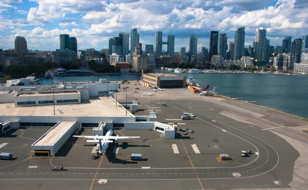
We want you to identify this intersection. Leave your guess in the comments section: we’ll hold on to your picks until 3pm. If you want to see a larger version of the photo check it out Spacing Photos.
And today is the last day of this game!
UPDATE AT 3pm: Our last photo in this game (for now) is Pape and Donlands.

36 comments
The cars look to be on the end of Pape Avenue and are turning onto the Leaside Bridge (Millwood Rd.).
Donlands Avenue is the other road.
Pape looking north-east at Donlands/Leaside Bridge. I’m surprised that there would be a yield sign to control what should be a busy intersection.
pape, donlands, millwood?
leaside bridge?
South end of the Leaside Bridge – Pape is on the left, Donlands right, Millwood straight ahead. Looks like this intersection could have used signals whenever this picture was taken.
Can’t let the last one pass by without taking a stab at it! Looks like it could be Pape-Donlands-Millwood, facing north.
Looks like Pape-Donlands-Millwood (the south end of the Leaside bridge).
o’conner and coxwell
That looks like the Millwood bridge.
Leaside Bridge looking north, Pape on the left, Donlands on the Right, about 1962 judging from the Valiant. I thought it looked to narrow but according to wikipedia “The bridge carrying Millwood Road was built to connect the two sections of the former borough of East York in the early 1930s. It underwent extensive upgrades and reconstruction in both 1969 and 2004 to 2006.”
Google Satellite view here
Pape/Donlands/Millwood
It’s definitely a bridge over the Don Valley, and the only one I know of with that sort of T-intersection and overall flatness is Pape and Millwood, looking north.
I’m sort of disappointed you didn’t go for another Sherbourne shot. Queen and Sherbourne would have totally stumped everyone, every building having been demolished to make way for Moss Park. And the picture even has a bank (unlike the neighbourhood today)!
P.S. Thanks very much for the game these last weeks… it’s been rather fun, and sometimes shocking, as history is wont to be. 🙂
It’s Pape looking north at Donlands/Millwood on the south end of the Leaside Bridge. The Leaside Transformer Station is visible on the horizon just left of centre. (I recall hearing that the official name for the bridge is the Confederation Bridge, named because it open at Canada’s 50th birthday.)
Looking north across the Leaside Bridge when it was only 4 lanes wide.
Bloor and Parliament?
Pape and Donlands, looking across the Leaside bridge.
pape & donlands looking north across the leaside bridge
Is this Pape and Donlands, looking sort of north-north-west across the Leaside Bridge?
Cherry & Lakeshore?
It’s hard to say… my guess would be Lakeshore Drive at Jameson Ave.
Kingston Rd and something?
It has to be Woodbine, at the O’Connor bridge. Save the easiest for last, huh?
Parliament and Bloor, looking east?
It’s Oconner Dr. and Woodbine Ave!
feels like that overlea blvd, o’connor bridge thing in north east york
Pape/Donlands atthe Leaside Bridge.
IS this where Donlands and Pape meet, where they cross the Millwood Road bridge over the Don?
jesus….don mills and pape?
frick – close again, yet unsure. Looks like water to the left therefore Humber crossing at Queensway/Lakeshore and the South Kingsway OR the Milwood Rd.bridge at the top of Pape on the left and Donlands going to right as there’s a substation I think on the other side. I think the latter but only by a trace. Thanks for the series – often a way of getting some internal grrs as many of us are competitive eh?
The Leaside bridge, looking north.
Looking north across the Leaside bridge?
Looking north on the Leaside Bridge at the Donlands/Pape/bridge intersection.
Is it the intersection of Pape and Donlands looking towards the bridge over the DVP?
SoMei
This picture is looking more or less north from the confluence of Pape and Donlands Avenues across the Leaside bridge which connects to Millwoods north of the Don Valley.
Clearly, this is Queen and Spadina.
JAMIESON AT WHAT’S NOW THE ONRAMP TO THE GARDINER.