Imagine Surrey was held March 2 at Surrey’s City Centre library.
There were four speakers, plus community displays and even an opportunity to help build a Lego city. That last event was aimed more for children.
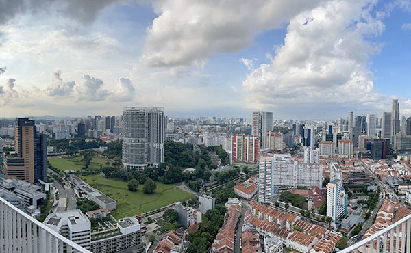
The City of Surrey has spent some time and energy in rebranding Whalley as City Centre. This is roughly the South Whalley area, from 96th to 108th Avenues and centred around King George Highway. Don’t be scared by those numbered streets: check it out on Google (or Bing) maps. It includes SFU Surrey, three Skytrain stations (King George, Central City and Gateway), Surrey Memorial Hospital and a Best Buy. Ooops. Scratch that last one, but there is a mall there too.
This is an area going through rapid development. One display showed 49 developments planned in this area. A good exercise for some keener would be to add up the residential and office capacity. Many are familiar with the big names: 3 Civic Centre, Rise, City Centre Library, a new City Hall, but there are many, many more already working their way through City Hall.
The four speakers were Gordon Price, Aubrey Kelly, Don Luymes and Michael McDonald. The following is a brief summary of their respective talks.
Surrey’s Urban Renewal – Gordon Price, director of The City Program at Simon Fraser University
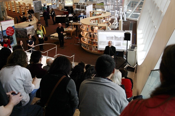
The development of Surrey’s new core is a pivot point. We know things are changing. The effects aren’t clear — yet.
What was the last pivot point for Surrey? 1964, when the Port Mann bridge was first built. This joined Surrey to the juggernaut of post-war growth. The consequences can be contrasted with Vancouver, which chose not to build the Freeway downtown. Vancouver is not hooked up to what Price calls the Motordom Machine. Surrey is.
What are the effects of buying into motordom? You need a place to park, you have to move fast, it has to be safe. It all has to work for the car. Infrastructure revolves around the vehicle.
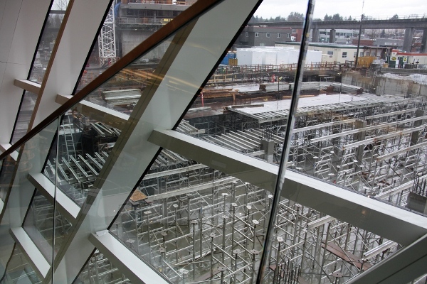
Mr. Price pointed out the library window to where the new City Hall Plaza was being built. It was a dense forest of metal scaffolds, aluminum I-beams and poured concrete.
“This… Surrey,” he said, “was a blank slate for the Port Mann.”
But not quite. There was already a road grid here, in 1-mile squares, a grid that allowed the land to be quickly opened up for affordable development, affordable right up until the 1980s, much like Vancouver in the 1910s. It allowed people to live the Canadian dream because the Freeway and the arterial roads became pipes that allowed cars (and people) to move long distances at fast speeds.
This did not happen in Vancouver. Without the freeway, the city became denser. Cars were no longer dominant. I believe Mr. Price said traffic density in Vancouver was similar to what it was in 1965—about the same time the Port Mann was built.
It’s unlikely this could happen in Surrey. The new South Fraser Perimeter Road and recent Freeway improvements have increased efficiencies of movement. There just isn’t any incentive to build high density buildings in places like Guildford because you can easily drive elsewhere.
This affects how we see neighbourhoods within this area called Surrey. Price pointed out that from his office at SFU in downtown Vancouver, he has a 5-minute walk to Skytrain, and at the other end, a 10-minute walk to SFU in Surrey. In effect, Surrey’s City Centre could become another Vancouver neighbourhood for transit-oriented people. City Centre has the transportation necessary to support high density, but that transportation leads towards Vancouver. City Centre could belong more to Vancouver than Surrey.
What’s Coming to Surrey’s New Downtown – Aubrey Kelly, Chief Operating Officer, Surrey City Development Corporation (SCDC)
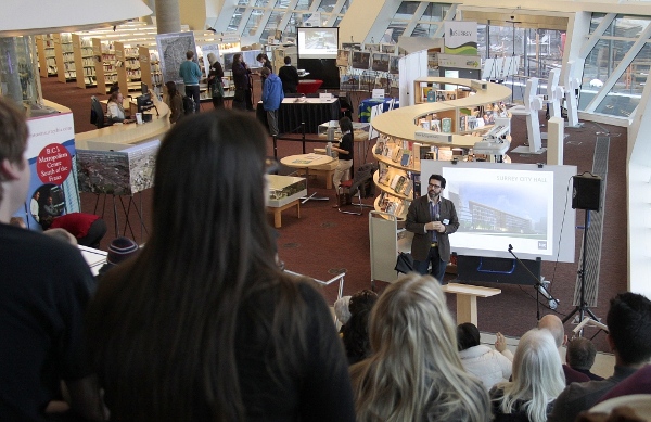
Right now, or as of when the slide shown was made a few years ago, City Centre had about 12,500 residential units. The potential is 60,000. That’s similar to Vancouver’s downtown core.
There are currently 10-million square feet of office/commercial space, with a potential of 20-million square feet. Kelly said he had originally questioned that 10-million number, but it includes the hospital, which sits at the Southern edge of what’s defined as City Centre.
Kelly’s presentation focused on a few key projects that will give this area it’s new look.
At “ground zero” there is the Library, the new City Hall and a 5,000 sq metre plaza connecting them to Central City tower. The plaza will be able to hold about 5,000 people.
3 Civic Plaza will be a mixed-use building with residential, office and meeting spaces. They are very close to signing with a major hotel to run that part of the project.
A few other projects of note around this core are several BOSA projects: a few residential towers to the northeast and northwest and a project involving the Lutheran Church almost directly across from the library. Other big developers with projects at different stages are Concord and Century Group.
Someone from the audience pointed out that Whalley is the second-poorest neighbourhood in B.C. Kelly described that the Surrey City Development Corporation (SCDC) is interested in projects that benefit the community, saying “It’s not just about the money.”
The SCDC operates by either collecting properties for sale and packaging them up for resale to the private sector, or developing them directly, as they did with 3 Civic Plaza.
Rapid Transit Planning and Surrey’s City Centre Plan – Don Luymes, Manager, Community Planning

The City believes it will be adding 280,000 people and 25,000 jobs over the next 20 years. This works out to about 1.8% annual growth—robust, but not unheard of.
How can this growth be managed? The City is taking a three-legged stool approach (the imagery comes from one of his slides):
- adding 100,000 people into existing city centres
- adding 100,000 people into new neighbourhoods like Clayton
- adding 80,000 people in between these centres
In transitioning into the region’s second downtown, a big part will be played by developing a more transit-oriented urban pattern.
Right now, population and jobs are relatively even across the city. The plan is to encourage development and jobs to move to where transit can easily go, such as the higher density nodes around Skytrain stations.
However, there will be density differences even in the City Centre, and surprisingly it won’t all be high-rises! Some of those classic Surrey bungalows will still ring the outside edges. Perhaps, they’ll have heritage value in a few years.
The City of Surrey’s planning of this new downtown will revolve around a more walkable, tree-lined fabric, with a finer-grained network of streets that will be wheedled out of developers.
Part of the long-range plan is to connect the city centre with the Green Timbers urban forest just to the southeast. Green spaces are important.
Because of the rapid growth, Surrey has a unique opportunity to develop transit while development occurs. The Surrey Rapid Transit Project has identified three corridors for development. They all start at Surrey Central Station:
- King George running South towards Crescent Beach
- Fraser Highway cuts a diagonal Southeast to the City of Langley
- 104th Avenue cuts straight East to Guildford
Of the three possible technologies—rubber-wheeled train-like buses, light rail, or Skytrain—the City is firmly in favour of light rail as providing the best bang for the buck.
Whatever the technology, stations along the routes will provide nodes for development to occur.
Introduction to Surrey’s New City Hall – Michael McDonald, Principal, Kasian Architecture
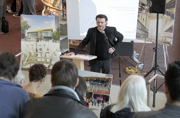
Creating a new downtown is quite extraordinary. City Halls are moved around, but in North America it is quite rare to have an opportunity to think in terms of this scale like we can here.
Although I may have mis-heard, Mr. McDonald was leaving the next day to China where he’s involved in creating a new downtown for 80,000 people. But here, it’s quite special.
Surrey’s new city hall is at the North end of a downtown civic area, with the existing Central City building at the other. Originally the city thought of putting the city hall right across 102 Avenue from SFU. Kasian realized the City controlled all the other land and suggested moving the city hall to the far end (east, west, north, south?), and tying the two anchor buildings together with a plaza.
The challenge with the plaza is to provide a catalyst for an effect: to become a great pedestrian green space. It will have the scale of the great civic spaces: Barcelona, Paris, etc.
The plan evolved from an initial concept that worked around the idea of signature buildings that pull you along a curving path from North to South. The downtown itself is layered, providing a diversity of experience from King George in the East to University Street in the West.
Central to this experience is the plaza, an area that is designed so one person or 5,000 people will feel good in that space.
I had been having problems with my pen, so I just couldn’t take the detailed notes that this talk deserved. Mr. McDonald is obviously a visually-oriented person and could quickly paint a picture of sun-dappled walkways and distant vistas visible through the atrium in the new city hall. The paving of the plaza is inspired by patterns made by rivers. There’s the possibility to do all sorts of things with the plaza, from an outdoor skating rink to covering it with a big tent.
The concepts informing the new city hall revolved around blurring the edge between outside and inside. The central atrium between the two blocks of the building should allow views of the North shore mountains, and also allow a covered space that is both inside and outside at the same time. The atrium extends the plaza and ends it. The two blocks will have walkways between them, and the whole thing is enveloped in a sort of shell. “It’s about edges,” said Mr. McDonald.
Council chambers will be in the East block. As an example of the flexibility that is built into the structure, this room will also be able to function as a small performance space.
***

