
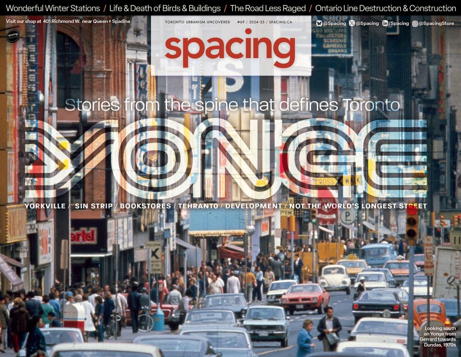
Yonge
Yonge street very much the spine of Toronto. The city has grown up along and from it, with successive arterial roads radiating outwards like ribs. It’s a line that both divides the city, and its streets, into east and west – marking the beginning of address numbering in each direction – and that ties the city together. As it moves from the lakefront to the city’s northern border, Yonge evolves constantly, at each point reflecting the nature of its new environment, and so showcasing many of the different phases of our vast metropolis.
Given its central role in Toronto, we wanted to dedicate a cover section to Yonge Street, capturing its many different states. How does it reflect different parts of the city? How do people use it or treat it? How has it evolved over its over two centuries of history? What changes are happening now, and what do they mean for the street and the city?
Our front section, meanwhile, includes explorations of other parts of Toronto – Winter Stations on Woodbine Beach, now starting its second decade, and the new Spirit Garden at Nathan Phillips Square – and how we get around – the obstacles to navigating Union Station with partial sight, and the potential for more civility to ease congestion.