
They’re ugly when full, desolate when empty, and they promote unsustainable commuter practices. Unfortunately, surface parking lots disfigure the streetscape all over Centretown, tearing large holes in the urban fabric and making the built form of Canada’s capital city often resemble a small town in the middle of the prairies.
So it’s no surprise that the team charged with delivering a cohesive Community Design Plan for Mid-Centretown have parking lots firmly in their sights as they begin the planning process that will make the area between Kent and Elgin ready to receive its share of the 10,000 extra residents Centretown is expected to attract by 2031.
The .pdf of the slides the planning team presented to a Community Open House held this week is available on the planning team’s blog site or you can click here for a direct download. It’s a fascinating document, and one of the most telling visuals in the slide deck is the one reproduced below.

The study area is outlined in dark red, stretching from the Queensway north to Gloucester. Note the large splotches of grey; each grey block is a surface parking lot. They are especially prevalent near the top of the diagram, closest to Laurier and the “CBD” (Central Business District) beyond.
Just how unnecessary are these parking lots? Well, notice how they hit their greatest density on Nepean street, just three short blocks from the Slater/Albert bus corridor — the very blocks with the best rapid transit service in the entire region.
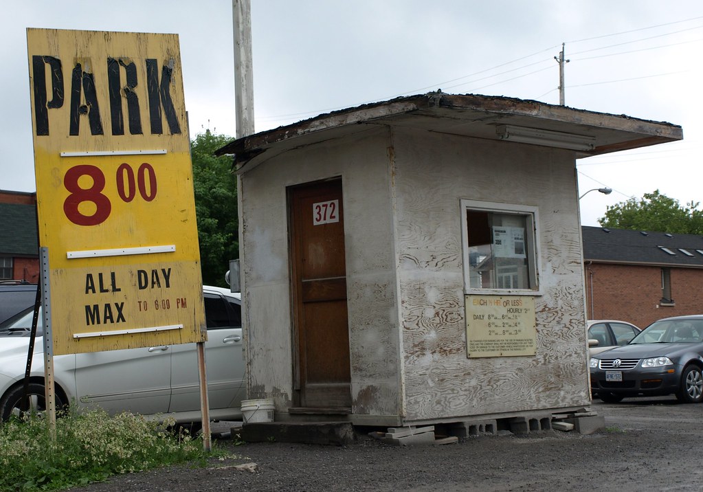
Photo by Jim Dixon
One comment
the very blocks with the best rapid transit service in the entire region.
= = =
Best bus transit, maybe.
Rapid transit? That’s dubious.