
Each Monday, we bring you some of the popular posts from our sister blog, Spacing Montreal. We’ll keep an eye open for topics and discussions that are pertinent to current public space issues in Toronto.
• An in-depth look at historical Montreal maps reveals a hidden network of rivers, streams, marshes and lakes lost underneath the city’s streets.
• In a close race this Sunday Montrealers elected Mayor Gérald Tremblay to his third straight term as mayor. Alanah Heffez’s post on Montreal’s government structure is a great primer on the city’s sometimes confusing (especially for Torontonians) decision-making apparatus
• An unauthorized Halloween-themed art tour through Montreal’s underground tunnels, saw a normally desolate space “echo with life and creativity, if only for one ephemeral evening”.
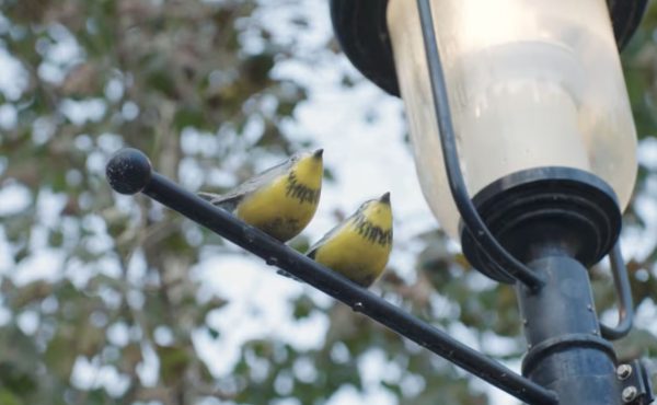
Photo by Spacing Montreal, on flickr


2 comments
Montreal’s current urban structure reminds me of those maps of the Holy Roman Empire from about 1032, with overlapping duchies and dashed lines everywhere indicating something or other. It’s amazingly complicated, with its patchwork of 19 boroughs within the City of Montreal and their local “mayors”, plus the 15 separate “reconstituted cities” that nonetheless share some services with the larger City of Montreal. I love the fact that it has a City Council, 19 Borough Councils, an Agglomeration Council and an additional 15 City Councils of the reconstituted cities – all on the island. It’s a long way from «une à ®le, une ville»! And that doesn’t even include the South Shore or Laval! I’m not sure it makes me want to actually live there, though.
Maybe smaller administrations can deal with the nuances of neighbourhoods better. We have one large government, and you have to call in every crooked sign, every burnt out streetlight and then hope that someone listens in the colossal bureaucracy. It gets tiring.