The Google Street View of Spadina Avenue at Sullivan Street.
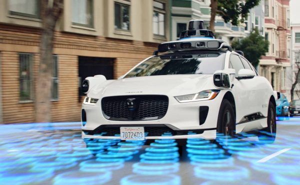
The Toronto Star reported earlier this morning that Google Street View is now live in the Toronto and Hamilton areas. This also includes all of the inner-ring suburbs such as Mississauga, Brampton, and Markham. The images appear to be taken during the spring and early summer of this year, and as promised, people’s faces and license plates are blurred. What I found surprising was that the Google cars covered just about every street in Toronto, not just the major arterials.
But not only Toronto, Hamilton and Kitchener-Waterloo are up; many other cities such as Ottawa, Montreal, Calgary (including the entire Trans-Canada Highway as far west as Lake Louise), and Vancouver are also live.
Please comment on anything interesting and/or unusual that you see in the newly-released images.
Happy exploring!


27 comments
“no line-up at Schwartz” – I think most of the photos were taken in the morning, at least that what it looks like on my street.
re: license plates
I thought license plates were not private since anyone can see it on the car and I don’t think ‘your’ license plate is actually yours (like how your driver’s license is technically property of the province). Thoughts?
Many of the faces of people in the village don’t appear to be all that blurred… I’m sure if I knew any of them I could identify them from the picture.
Unfortunately, much of Toronto was taken during the garbage strike. Take a look at some of the streets or the arena in christie pits. :-/
So much for getting any work done today
Most of the images I’ve seen of my house and those of friends look to be taken in April.
My boyfriend mentioned one day that he looked out his bedroom window and saw what he suspected was the google car going past. Turns out he was right: he can easily be seen in his bedroom window (though it looks a little ghost-y!).
Seems traffic (in Toronto) has also gone live.
I’m pretty sure that you actually own your license plates. Though anyone on the street can see your license plate (just like anyone can see your face), it’s a piece of information that you want to protect from fraud and identity theft.
The “garbage strike” immortalized. Sunnyside Beach temporary garbage location: http://maps.google.ca/maps?f=q&source=s_q&hl=en&geocode=&q=Sunnyside+beach,+toronto,+on&sll=43.651106,-79.450893&sspn=0.081107,0.154324&ie=UTF8&hq=Sunnyside+beach,&hnear=Toronto,+ON&ll=43.637566,-79.459305&spn=0,359.382706&z=11&layer=c&cbll=43.637471,-79.460465&panoid=XMkDZkqCcI-ee2sCDnmX9A&cbp=12,223.85,,0,2.3
I noticed two people sitting on a park bench in Fred Hamilton Park (next to 422 Shaw street) that were both giving the camera the finger … but I went back to find the image just now and it has been removed.
/facepalm over the garbage strike. How often do they update the routes?
Hopefully Google will soon also improve the standard map view for Canadian cities to include building massing. Most American cities now have this feature at the closer levels of zoom and it adds tremendous context to the map. Here is an example from Philadelphia:
http://bit.ly/2nem1Y
(Wouldn’t a printout of that look nice in a TTC station…)
My parents house is at the very northern edge of the current coverage. One side street north and they would not be included. Also, the job blurring my dad’s license plate was not very good and I can clearly make it out.
Also a pedestrian covering his face nearby which did not seem to blur well either…
Sure enough google may have some issues with privacy concerns. But there are various other websites hosting street views for Toronto that get around this by focusing only on the buildings. Take a look at the following to see an example:
PixelCity.ca (Bloor Street)
PixelCity focuses on a panoramic view rather than a 360 view which avoids privacy issues. On top of that, its much quicker to move up and down a street of interest then Google’s 360 street viewer
I’ve noticed Google is not taking any chances and has been selectively blurring even some of the faces in advertising. check out the front window at Hakim Optical on Elm and University:
http://maps.google.ca/maps/ms?client=firefox-a&hl=en&ie=UTF8&msa=0&msid=116976722838451934302.00043abdefdefb92127ff&ll=43.656571,-79.38622&spn=0,359.983456&t=h&z=16&layer=c&cbll=43.656427,-79.388516&panoid=zWCgU7KXlhhzqnjU7l1zZA&cbp=12,180,,0,27.5
The houses on my street look skinnier than in real life.
The irises and columbine are blooming at my house. It’s before the garbage strike, because there are blue bins out, and there is an actual garbage truck in the photo, right across the street. So that makes it probably either Tuesday, June 9 or Tuesday, May 26. Cute.
There are lots of gaps – I couldn’t even see much of the downtown area and my old neighbourhood was a pocket that was completely missed, although all the streets around were done. I suppose they’re going to go back and fill in the gaps at some point?
As for the blurring of faces, if you know who someone is, the slight blurring of their head definitely isn’t enough to mask them, although going through all those images and zapping out all the people could be pretty difficult. It just shows that there are always people out on the streets, no matter the season.
Roncesvalles construction also immortalized.
http://maps.google.ca/maps?f=q&source=s_q&hl=en&geocode=&q=135+Pearson+Ave,+Toronto,+ON&sll=43.637566,-79.460678&sspn=0.234555,0.567856&ie=UTF8&hq=&hnear=135+Pearson+Ave,+Toronto,+Toronto+Division,+Ontario&ll=43.642194,-79.444971&spn=0.007717,0.017745&z=16&layer=c&cbll=43.641916,-79.447361&panoid=9O9je6dqpuB3I3_af8ztKg&cbp=12,131.79,,0,5
Wow, look at the congestion in front of spacing!
I actually found myself on the corner of Dupont and Lansdowne sitting in a borrowed car waiting for the light to change. I remember looking directly at the camera and thinking … “wasn’t Spacing trying to do an artists intervention for this?”
It was strange remebering WHERE I saw the camera, and not having to worry about WHEN I saw it. It was really weird to actually see my face staring back at me.
It looks like the face blurring doesn’t work if they are wearing sunglasses. I clearly identified a former professor of mine on the west side of Hart House Circle
Where’s Waldo?
Trying to help time stamp the project:
I’m pretty sure they did my street sometime between April 30 – the dates I moved into my house (my car and stroller out front) – and May 3 – the date I tore up the previous owners’ landscaping in the front yard.
iSkyscraper: The map now includes massing, though it’s missing a lot of data currently.
Am in Halifax NS and checked a friends house last week and licence plate was clearly visable, now it is blurred privacy bve damned it is pretty amazing
They completely missed my street in Toronto.
They somehow skipped the area south of the Danforth and north of the railway tracks between Greenwood and Coxwell.
One of my favourite images is at the NW corner of Gerrard and Yonge.
Two people are walking past a billboard they blurred the face on the billboard but not the faces of the two people walking past it.