
Spacing Saturday highlights posts from across Spacing’s blog network in Vancouver, Toronto, Montreal, Ottawa, and the Atlantic region.

![]()
As Saint John heads into a municipal election Abad Khan recaps a tumultuous year while attempting to frame the upcoming vote and the challenges the city faces moving forward.
![]()
Alexandre Laquerre uses historical images to show how government office blocks have dramatically altered the urban context in Hull.
![]()
![]()
![]()

My City Lives, takes readers on a three part guided tour of the historic ‘Old Town Toronto’ neighbourhood with guide Bruce Bell. The first installment introduces the broader neighbourhood, while the second looks at the iconic Gooderham Flatiron Building.
John Lorinc focuses on the topic of GTA transit funding, as the region looks to build off the momentum of the populist subway debates. Lorinc shares the results of a Spacing-Environics poll showing wide support for a gas tax and later goes into detail about the political difficulties ahead.
![]()
![]()
Alanah Heffez discusses how plans for rejuvenating a Montreal school yard were dashed when it was realized the green space will be expropriated for the impending expansion of the controversial expansion of the Turcot interchange.
A special guest contribution by Michael O’Shea reveals a fantastic winter use for underutilized urban alleys in the winter by showing an example of how one Montreal alley was converted into a hockey rink that created a neighbourhood gathering space.
![]()
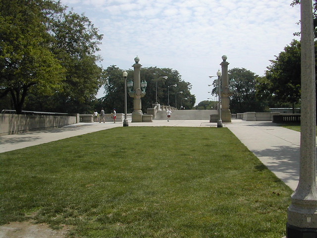
As cities around the world continue to push for titles of largest new urban parks, Christine McLaren looks at the pros and cons of large urban parks and in the process strikes at the comparative value of smaller parks that are responsive and well integrated to their specific community and business with their beautiful signs on them.
Ian Lowrie contributes to the Cartographically Speaking feature with the first two of three installments in a series using mapping to show the relationship between crime an urban form in Greater Vancouver. First looking at broader areas of crime intensity and then focusing in on the details of these areas.
Photograph by: James Allanspach