
Maps
-
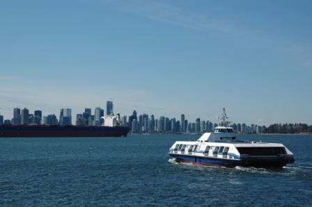
Video Vancouver: Map Flyover
The Department of Geography at UBC decided it was time to dispose of a relief map of Vancouver that had hung on its walls since the 1970s. My friend...
By Yuri Artibise -
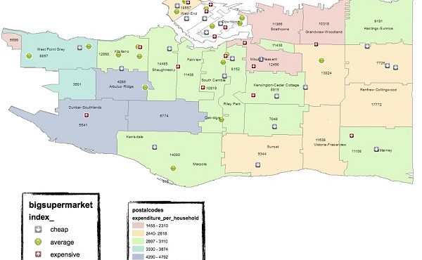
Cartographically Speaking: Variation in Food Access for Vancouver Neighbourhoods
For a larger image, click here. In the sunshine summer of 2013, I was summoned by my professor and given an interesting task: to roam the supermarkets and...
By chenzhuo -
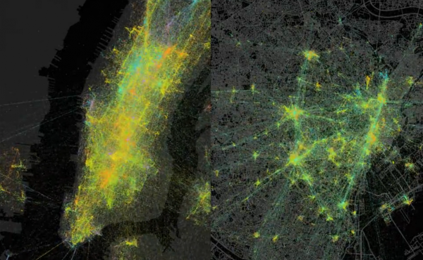
Video Vancouver: Foursquare Shows the Pulse of a City
Every day, millions of people check in on Foursquare. We took a year’s worth of check-ins in New York City and Tokyo and plotted them on a map. Each...
By Yuri Artibise -
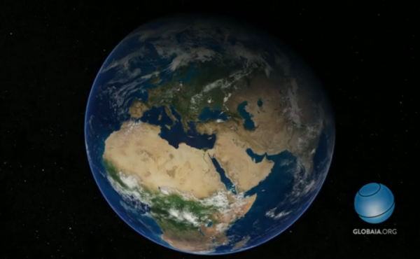
Video Vancouver: ‘Welcome to the Anthropocene’ Earth Animation
This is the animation done by Globaïa for the short film ‘Welcome to the Anthropocene’ commissionned for the Planet Under Pressure conference...
By Caroline Toth -
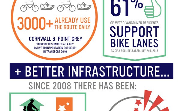
Cartographically Speaking – Safety in Numbers: Why a Bike Lane in Kitsilano?
By Jen Cook & Holly Foxcroft In the heart of Kitsilano, a rumbling started to occur in reaction to the city project to create a safe link between the...
By Spacing -
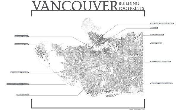
Cartographically Speaking: Vancouver Building Footprints
My sincerest apologies to all the map- and info-geeks out there that have followed Cartographically Speaking over the years and have had to endure the...
By Erick Villagomez -
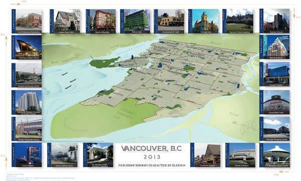
Cartographically Speaking: Mapping Neighbourhood Character Buildings
The buildings in a city give it character and form. They stand as the structures that produce personal recollections of a streets and neighbourhoods. In...
By Aaron Cheng -
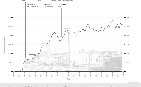
Cartographically Speaking: Commercial Drive Business Development,1900-1999
Those who have followed my cartographic adventures, know that I consider graphs, charts, diagrams, etc. an extension of mapping. Edward Tufte uses the...
By Erick Villagomez -
Release: 40 Years of Changing Attitudes in Metro Vancouver
Metro Vancouver Urban Futures Survey 2012 Results Politicians, planners and policy makers can now be informed by forty years of comparative data on the...
By Spacing -
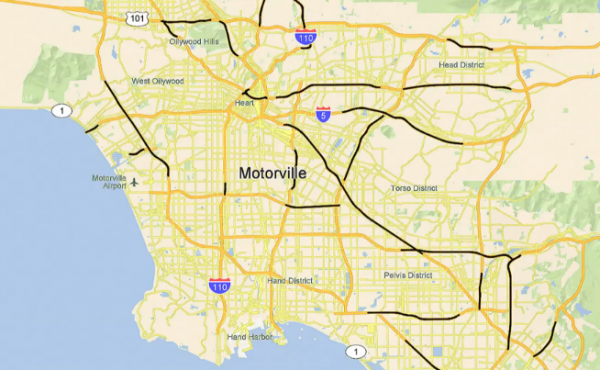
Video Vancouver: Motorville
The map of an american city goes on a quest across the world to find oil in order to feed its body, made of streets, highways and freeways.
By Caroline Toth -
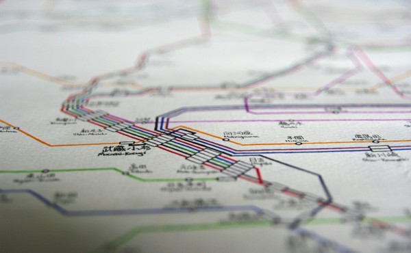
Hand drawn map of Japan’s intricate rail system
Artist Wyton Cho has hand drawn Japan’s rail system. The colourful lines intersect and meet at stations, and present an immediate sense of how vast...
By Jonathan Zettel -
New Westminster Walkshed Map
Special Guest Post by Jonathan Cote The City of New Westminster is currently working on its Master Transportation Plan. The plan is looking at...
By Spacing