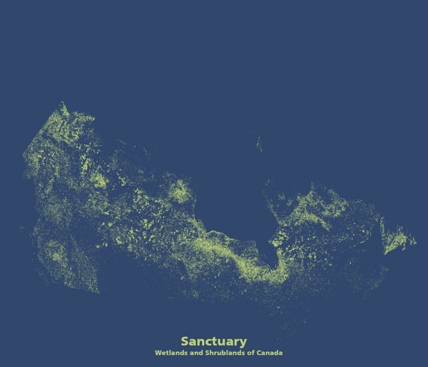
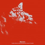
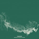
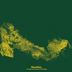
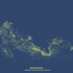
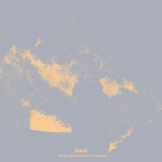
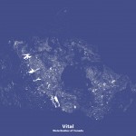
The series of maps below are a Canadian version of a project called “Minimal Maps” by Michael Pecirno. The original project took a simple view of land cover in the United States and displayed it so the focus was on one cover type at a time. With full respect to the original artist, this series uses a similar style of displaying different general land cover types.
The Canadian land cover maps above that I created reveal of an interesting mutual exclusiveness in the landscape. When compared with the American versions you see entirely different patterns. The United States exists at a lower latitude which gives it a much more moderate climate. There, the patterns of vegetation and land cover are governed by complex interactions between moisture, geology, soils and topography.
In Canada, the situation is somewhat simpler. Although there is a similar complexity with respect to geology, soil, topography and moisture, the Canadian landscape is influenced heavily by temperature and latitude. As you move north, the influence of the arctic winter becomes more pronounced. In southern Canada, the distribution is similar to the United States with a mix of different forests and grasslands. As you move north, however, the deciduous forests yield to coniferous forests which again yield to shrub lands, which yield to arctic grasslands, until eventually the land is bare save for a few hearty lichens.
In the “Vast” grassland map, there is a pocket of crop and grasslands in southern Alberta and Saskatchewan, which is actually the northern extension of the Great Plains in the United States. Moving still further north grasslands appear again (although they are different species) as the climate becomes more challenging. In between these two pockets of grasslands, on this same map, you see a blank stripe that is occupied by all the country’s different forest types.
In British Columbia, west of the Rocky Mountains you do not see the same banding as you do with the rest of the country. Here, the moderating effect of the Pacific Ocean currents plays an important role. Consequently, a more consistent mix of cover types extends father north. The combination of mountain ranges, moderate temperatures and moisture carried in from the Pacific Ocean allows the area west of the Rockies to escape the extremes that would otherwise be present at different latitudes.
****
For more information on the original project please visit: http://www.michaelpecirno.com/minimal-maps
***
Data for Canadian land cover maps from: 2005-2010 North American Land Cover Change at 250 m spatial resolution. Produced by Natural Resources Canada/ The Canada Centre for Mapping and Earth Observation (NRCan/CCMEO), United States Geological Survey (USGS); Insituto Nacional de Estadística y Geografía (INEGI), Comisión Nacional para el Conocimiento y Uso de la Biodiversidad (CONABIO) and Comisión Nacional Forestal (CONAFOR).
**
Canadian maps by Andrew Cuthbert
*
Andrew Cuthbert is a planner and geomatics specialist working in environmental consulting. When not working Andrew can most likely be found on his bike taking in the sights and fresh air.

