
 Sample of Roman Fomin’s 1926 map of streetcar and interurban map available on Transit Toronto
Transit Toronto is a great website dedicated to, well, all things transit in Toronto. In the archives section, there’s a wealth of old reports, schedules, advertisements, and official maps and track diagrams of the TTC dating back to 1930, a wonderful resource for the armchair historian or transit enthusiast.
The most interesting of Transit Toronto’s recent additions is a map (a screen shot is shown above) illustrating the entire rail transit system in Toronto as of 1926, the peak of Toronto’s street railway and interurban network. Toronto’s radial railways at their peak connected places such as Woodbridge, Guelph, Sutton, Port Credit and Schomberg. The Guelph and Woodbridge lines were operated by Canadian National Railways, while the other radials were, at that time, operated by Ontario Hydro. The map, which is a cartographic delight, was created by enthusiast Roman Fomin and includes the street and mainline railway networks as they existed in that period. I was only able to spot a few trivial errors in this extremely detailed work.
This map, which is a 71 MB PDF, is here.
In 1926, there were only a few short TTC bus routes that are not shown on this map: on Jane and Annette Streets, in Rosedale, the Port Lands (replacing the Ashbridge streetcar that’s partially shown on this map), and on Oakwood between St. Clair and Davenport.
Just two years later, by 1928, the Schomberg, Woodbridge and Lambton lines were abandoned, the latter two replaced by buses. Within ten years, they were joined by the Guelph interurban and city systems, the former Lake Simcoe Line north of Richmond Hill, the Port Credit and most of the Scarborough radials, as well as the Davenport streetcar were all replaced by TTC and Gray Coach buses.
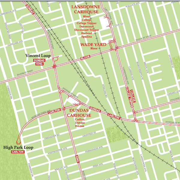
Similar maps created by Fomin on Transit Toronto illustrate the TTC streetcar system in 1945 (3.5 MB) and the streetcar and trolley bus system as of 1965 (4.3 MB), just prior to the opening of the first phase of the Bloor-Danforth Subway.
7 comments
Friends of mine have at their cottage the sign from the Eastbourne station on the radial line to Lake Simcoe terminating at Sutton. Pitted from .22 rifle shots, but still largely intact.
Sean, I am the author of this map and it was a big surprise for me to see such a great and detailed review here. I have noticed you mentioned some minor errors on this map and I would be grateful if you could send them to my email address – info@ismcarta.ca. Thanks!
Hi Roman,
Yet again, I am very impressed great work! I was actually impressed by the lack of errors I spotted given the all the details this map has. I’ll be sure to contact you off-line.
I’m somewhat surprised the Eastbourne sign survived. The old Lake Simcoe radial used be to called the Metropolitan Division of the Toronto and York Railway – so the right of way between Keswick and Jackson’s Point which was turned into a road, was naturally called Metro Road.
People today are tied up in Fordisms and subway rhetoric, neglectful of how astonishingly powerful an influence the streetcar network was in building the city. The Toronto that was have today was created largely by this map. The tracks may be mostly gone now, but the land use patterns, building types, density, etc. remain.
The Americans get this whenever they visit Toronto and gaze with wonder at its endless supply of healthy neighborhoods, still tied by their invisible streetcar routes. This is why they are trying to hard to reintroduce streetcars in their cities. Washington DC, Tucson, and Atlanta are all now building new streetcar lines in the model of Seattle and Portland.
If only Torontonians realized the value of their streetcar network, and instead of deriding it worked to improve and expand it.
Props to the map, I have been trying to find a regional transit map with interurbans for awhile. Was beginning to think that none existed, outside of possibly libraries and archives.
One thing I have always found interesting is how the shape of the Toronto area has remained so similar over the last century, just the scale changes. In this case, Mimico and Long Branch then are today’s Oakville and Burlington, and Lansing and Willowdale are today’s Aurora and Newmarket.
Zoom out this map and compare it to Google if you don’t believe me.
Great map, and what a worthy topic.