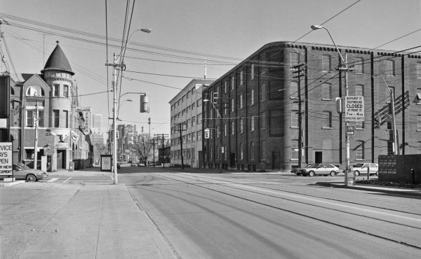
As a documentary photographer of architecture, I take a strictly non-hierarchical approach to recording Toronto’s urban fabric. I see my work as belonging to an important tradition dating from the earliest days of the medium, one that pays attention to the connective tissue filling the spaces between urban landmarks.
I began my project on the section of Bathurst Street between King and Bloor Streets in May, 2021. At the start, I assumed I would be contributing to a photographic record stretching back more than a century, one that would be accessible via the websites of several public archives. Surprisingly, when I did consult these sources I found no significant archival views of what could be called my “study area.”
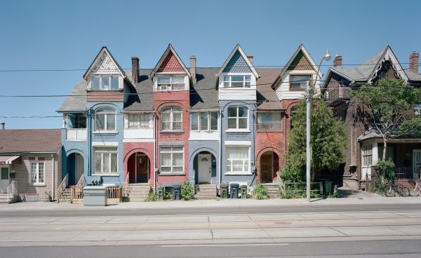
With the exception of the former grimy industrial zone extending from below Wellington Street to the waterfront, the photographic record of Bathurst Street seems not to include work by major artists such as the City of Toronto’s first official photographer, Arthur Goss. However, Goads Insurance maps published between 1884 and 1913 document a building campaign that moved steadily up Bathurst to Bloor Street and beyond. Three-storey row houses featuring massive gables and dormers predominate above College Street.
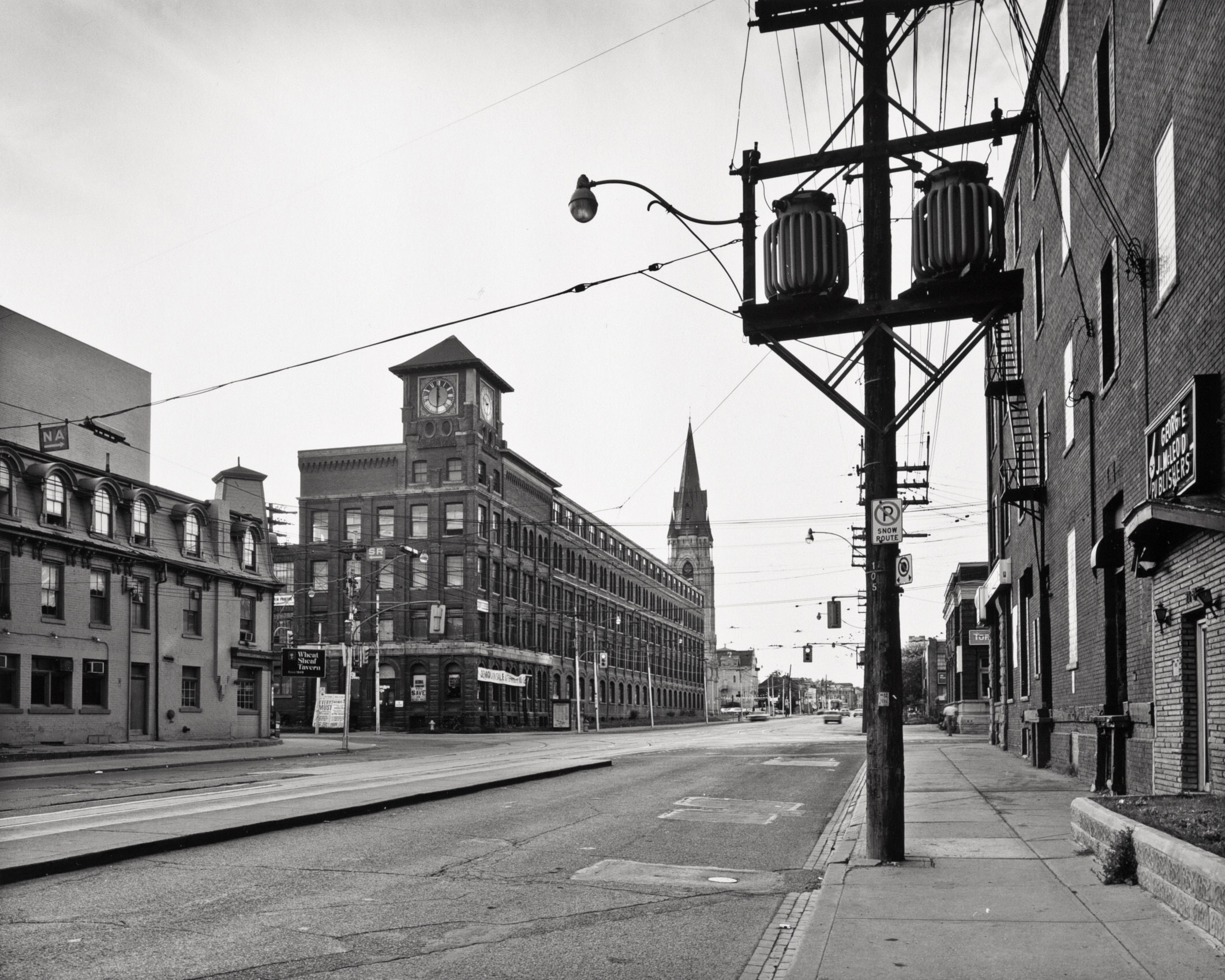
Two iconic buildings, one commercial and the other industrial, formerly stood at opposite ends of my study area. Both Honest Ed’s at Bloor and Bathurst and the Otto Higel Building at King and Bathurst attracted photographers, the former for its illuminated signage and the latter for its clock tower.
My first self-initiated project on an industrial building was to record the Otto Higel Building before and during its demolition in 1981. In a scene that has been repeated many times since, a group of artists who had built their own studios on the building’s top floor saw their leases terminated as part of a redevelopment that would provide no new studio space.
Central Technical School and Toronto Western Hospital each occupy a full block of Bathurst Street. My photos of these two institutions reflect their contrasting relationships to the street. Central Tech originally fronted on Lippincott Street, one block to the east. Its visual connection to Bathurst Street dates from the 1960s, when its sports facilities replaced the intervening block of houses and stores.
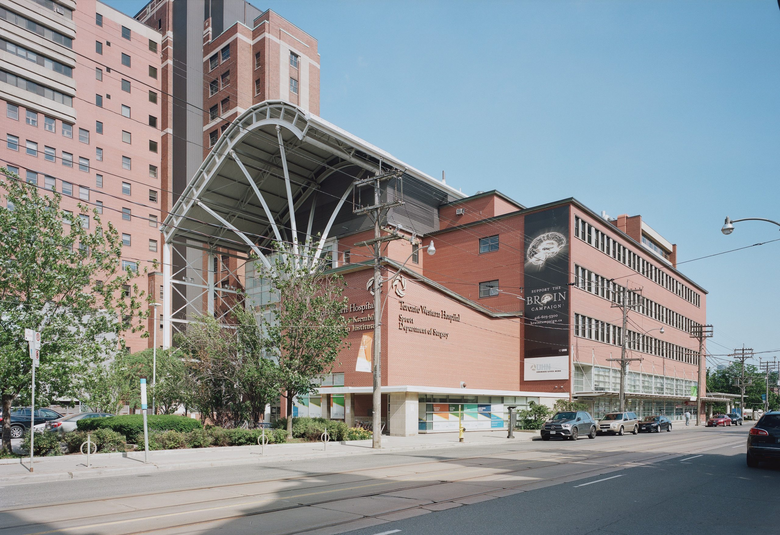
While Central Tech keeps its distance, Toronto Western, its huge pavilions enclosing an inscrutable Art Deco central tower, looms over the sidewalk in a rather threatening manner. The depressingly cheap architecture of Cardinal Funeral Homes Ltd. directly across the street offers patients at the hospital a strong incentive to recover.
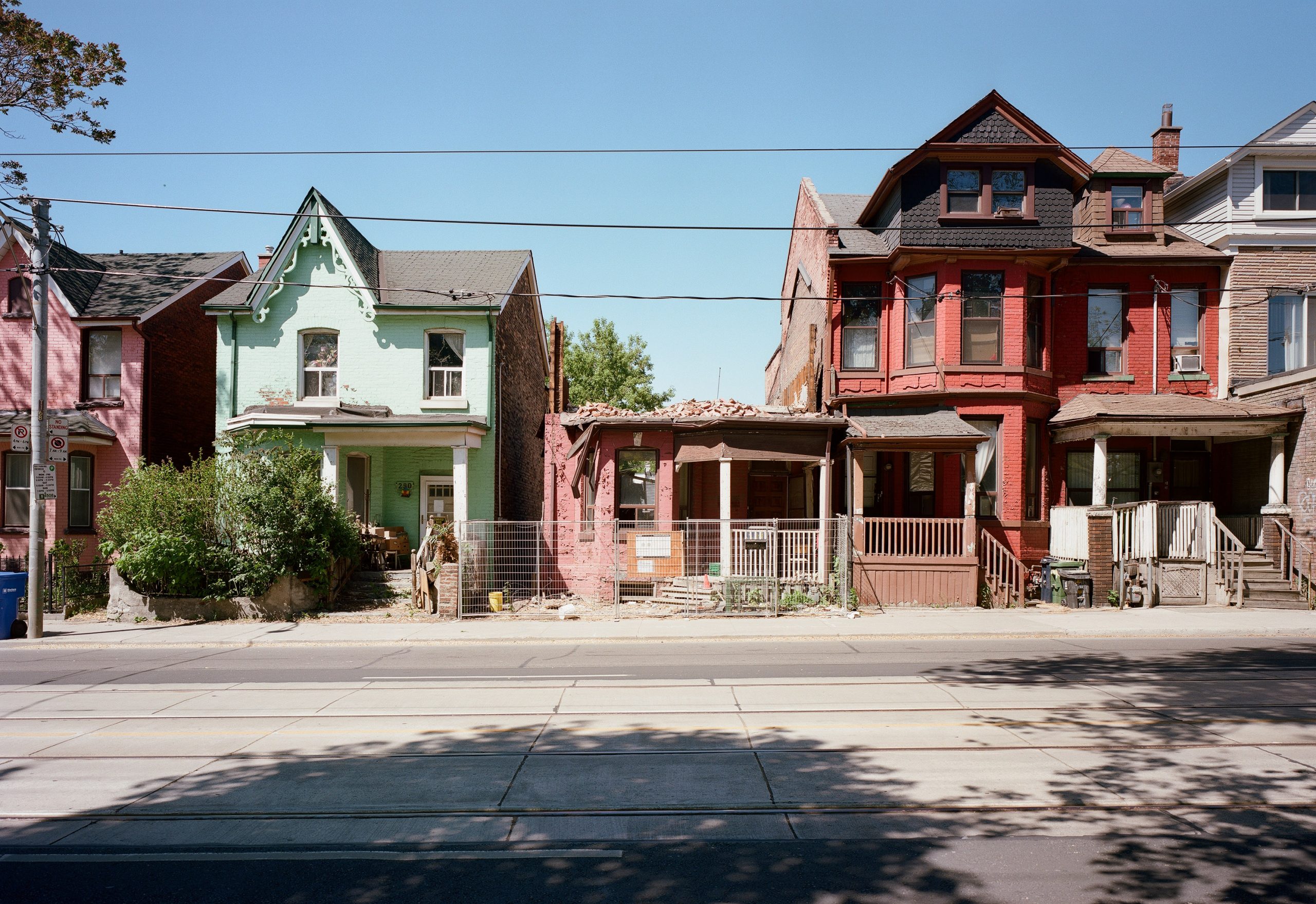
My project would not have been complete if it did not provide some record of changes along the street. Between May and July, a house at 292 Bathurst was demolished, the row house at 477 was sold “over asking,” and a row of housing below Richmond Street was vacant and slated for demolition. Early on, I photographed the homeless encampment in Alexandra Park from the sidewalk, returning to show the park entrances fenced off after residents were evicted.
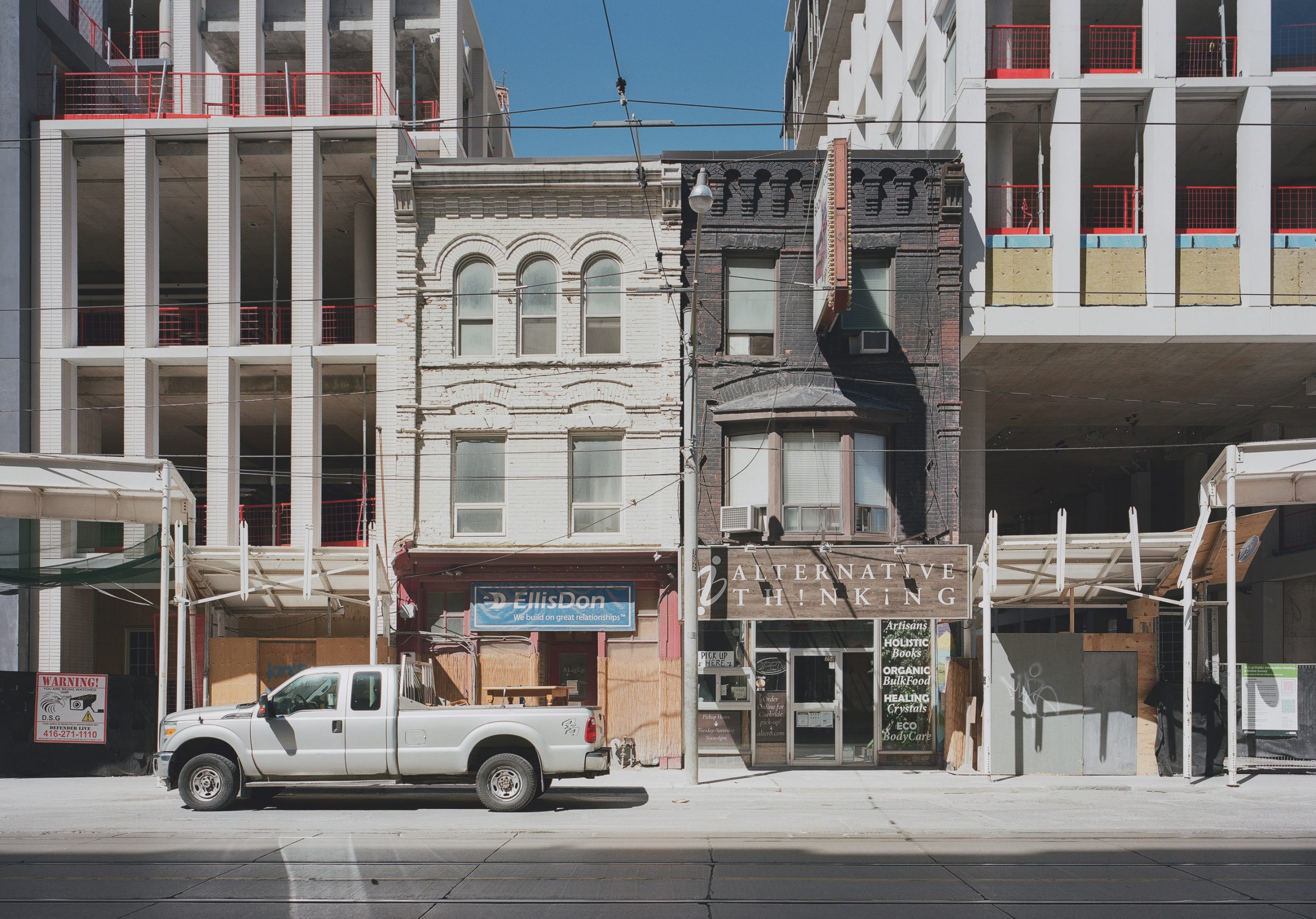
The current Mirvish Village development on the former Honest Ed’s site promises to replace the lovable vulgarity of that institution with something very large and much less lovable. A single holdout on the Bathurst street side of the development, a store called Alternative Thinking, has survived intact, although its facade is badly in need of restoration. It’s a small victory over the agenda of Toronto’s development industry, but for me, a significant one.
All photos © P. MacCallum, 2021 (petermaccallum.com)
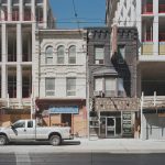 Storefronts at 756 and 758 Bathurst Street surrounded by the Mirvish Village redevelopment. The third unit in this block at 760 Bathurst was demolished.
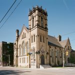 The Randolph Theatre, 736 Bathurst at Lennox Street.
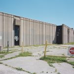 The Bathurst Building at Central Technical School, It houses shops, gymnasiums and an Olympic sized swimming pool.
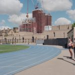 Looking northwest from the Central Tech Stadium.
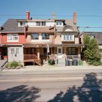 Housing, 702-701 Bathurst at Herrick Street.
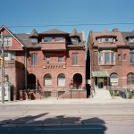 Housing, 662-670 Bathurst at Harbord Street.
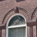 Arched window, 650 Bathurst.
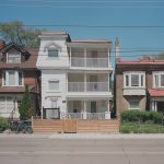 Mixed housing types, 583-589 Bathurst.
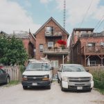 Rear yard of 632 Bathurst.
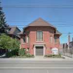 St. Moses and St. Katherine Coptic Orthodox Church, 557 Bathurst.
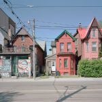 Detached houses, 506-512 Bathurst north of College Street.
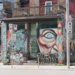 Detail of three panel mural, 508 Bathurst.
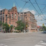 College Street United Church and The Channel Club Condominiums, northwest corner of Bathurst and College.
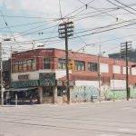 Sneaky Dee’s performance venue and restaurant, southeast corner of Bathurst and College.
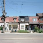 Housing, 473-483 Bathurst, south of College.
 Realtor’s sign, 477 Bathurst.
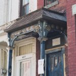 Entrance to Reg Hartt’s Cineforum, 463 Bathurst.
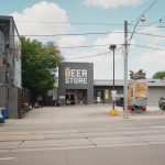 The Beer Store, 452 Bathurst opposite Cineforum.
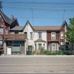 Row housing, 453-457 Bathurst.
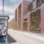 Living wall behind Bathurst College Centre, 410-444 Bathurst.
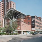 Toronto Western Hospital, 399 Bathurst. View from opposite Nassau Street.
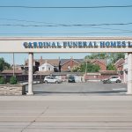 Parking lot of Cardinal Funeral Homes 366 Bathurst opposite Toronto Western Hospital.
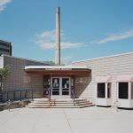 Library entrance, Scadding Court Community Centre, southeast corner Bathurst and Dundas.
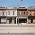 Storefronts, 318-324 Bathurst south of Dundas.
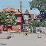 Opposite left, Ching Kwok Buddhist Temple, originally Ukrainian Labour-Farmer Temple Association Hall.
 Tents in the homeless encampment at Alexandra Park.
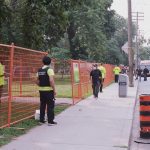 Street scene during eviction of residents from Alexandra Park on July 20, 2021.
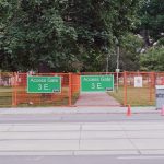 Fencing along Bathurst Street after evictions from Alexandra Park.
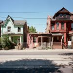 House under demolition, 292 Bathurst, opposite Alexandra Park.
 Row Housing, 240-246 Bathurst south of Robinson Street.
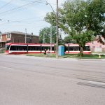 TTC Wolseley loop.
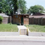 Washroom cabin, TTC Wolseley loop.
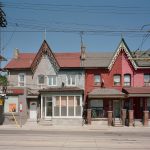 Row housing, 211-217 Bathurst at Eden Place.
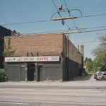 The Oak Leaf Steam Baths, closed in 2015.
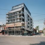 Origami Lofts, southwest corner of Bathurst and Wolseley Street.
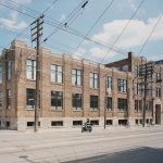 The Orient Building, 183 Bathurst at Wolseley Street.
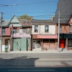 Houses converted to storefronts, 194-200 Bathurst near Queen Street.
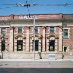 Former bank building, northwest corner of Bathurst and Queen. Now occupied by West Neighbourhood House, a social service agency.
 A street scene at Bathurst and Queen.
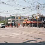 Southwest corner of Bathurst and Queen.
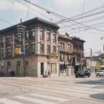 Northeast corner of Bathurst and Queen.
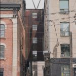 Land bridge in laneway, east side of Bathurst below Queen.
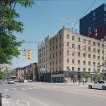 Loft building, northeast corner of Bathurst and Richmond. Originally part of the F. C. Burroughes Furniture complex.
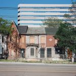 Row housing awaiting demolition, 153-157 Bathurst below Richmond Street.
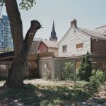 Rear view of houses awaiting demolition, Bathurst below Richmond Street.
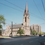 St. Mary’s Church, 130 Bathurst Street at Portugal Square.
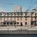 The Wheatsheaf Tavern, southwest corner of Bathurst and King.
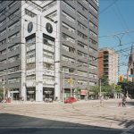 The Clock Tower Lofts condominium on the former site of the Otto Higel Building northwest corner of Bathurst and King.
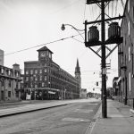 Wheatsheaf Tavern Otto Higel Building and St. Mary’s Church, Bathurst Street, 1981
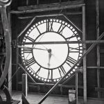 Interior of clock tower, Otto Higel Building, 1981.
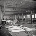 Ruined artists’ studios, Otto Higel Building, 1981

3 comments
Nice work, Peter!
I never realized how ugly and decrepit Toronto looks until I’d left.
Those World Class hydro poles..
Fine work.
A neglected street, in so many ways.
Could this house been saved, perhaps for use by TCHC?