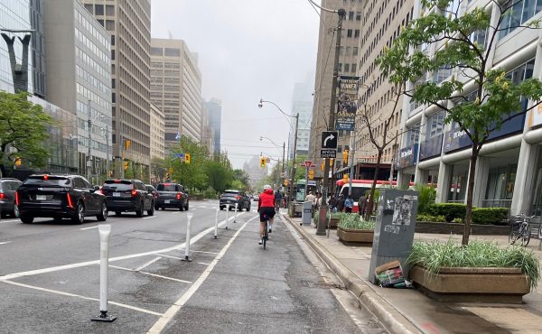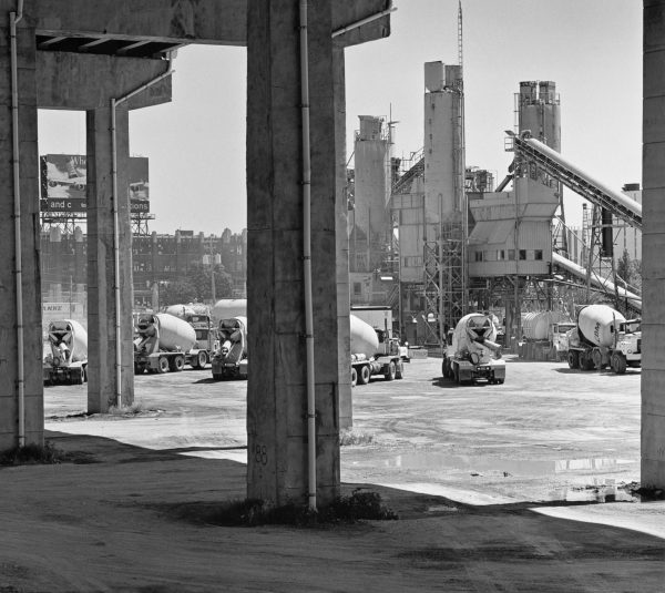
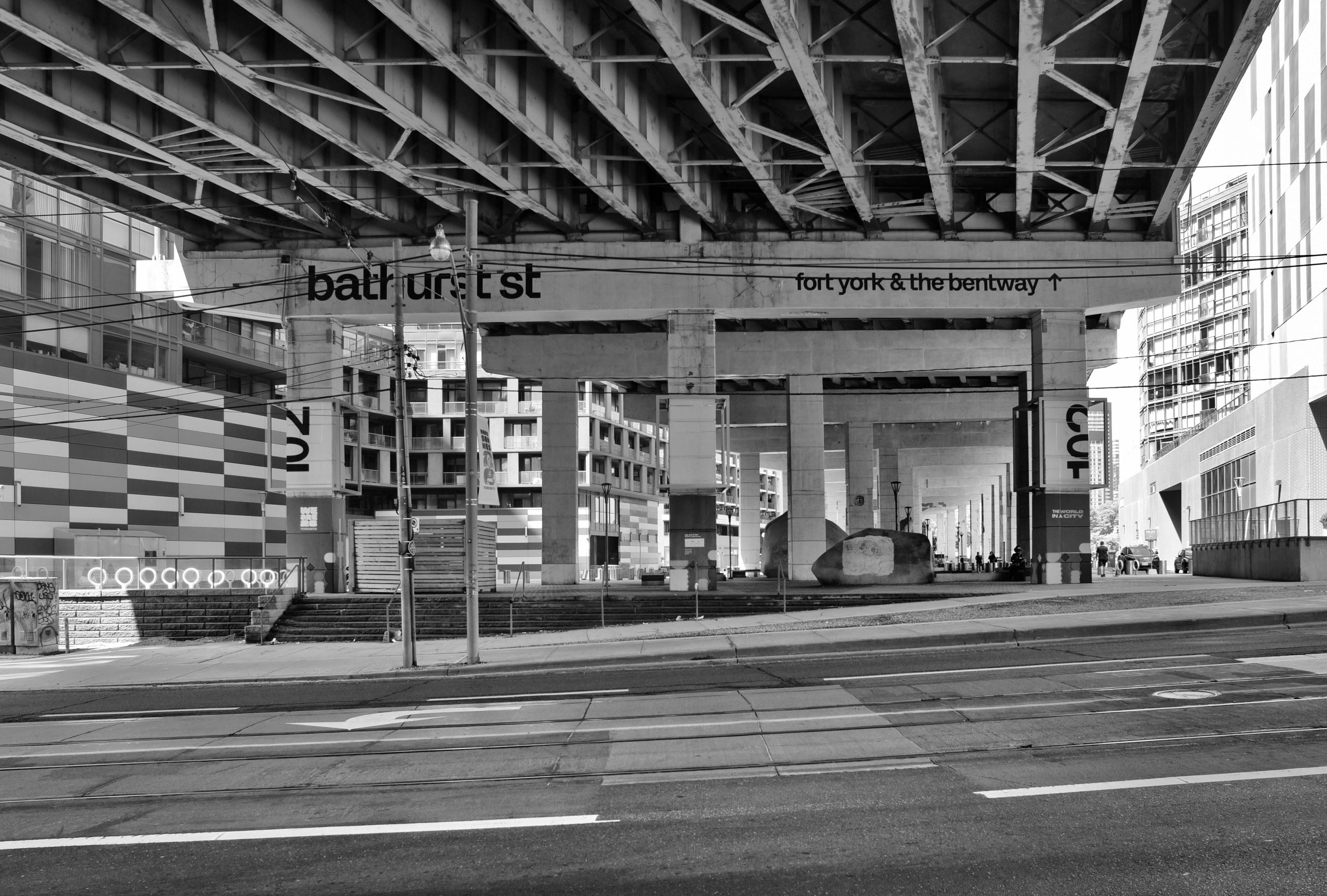
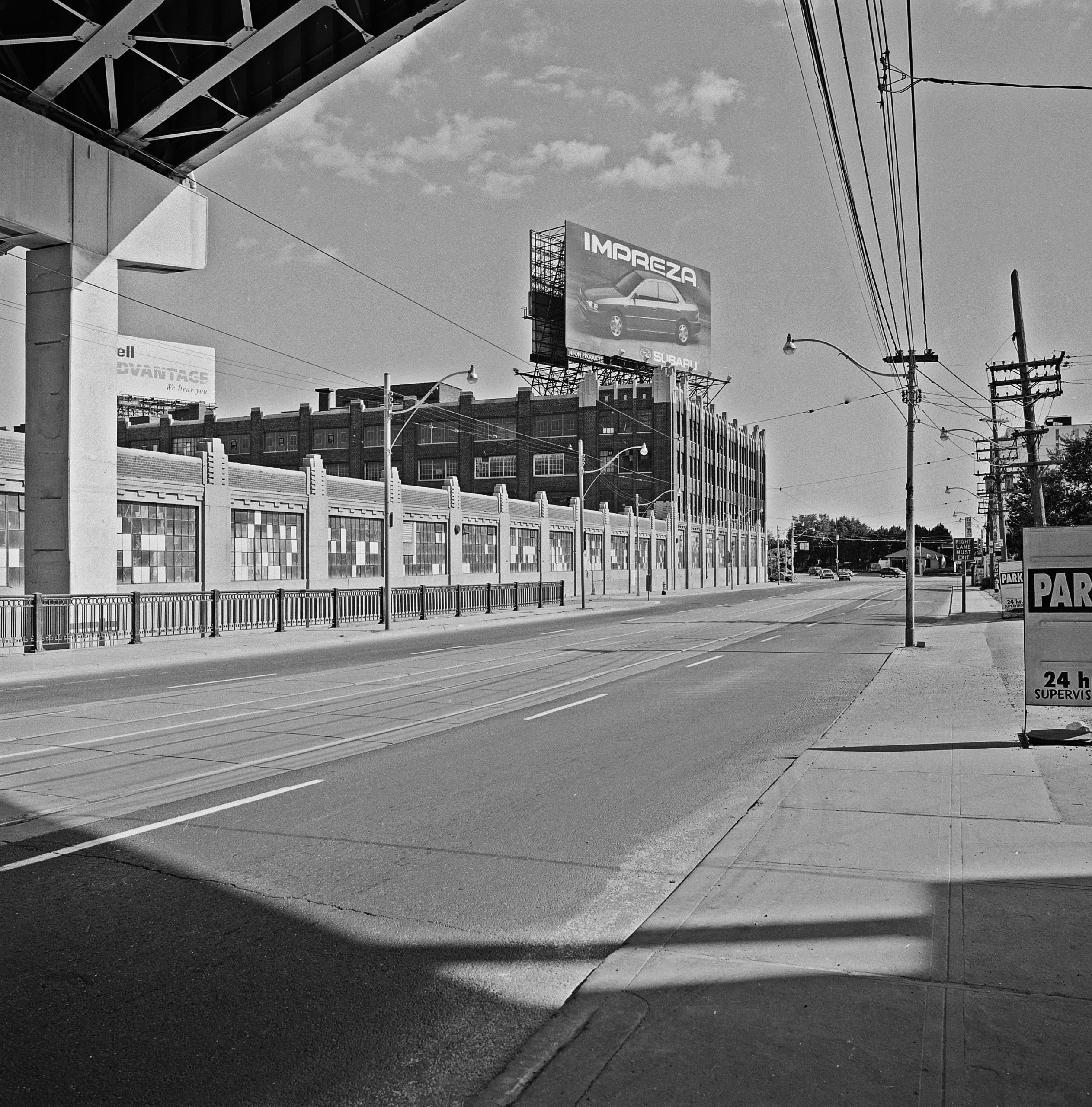
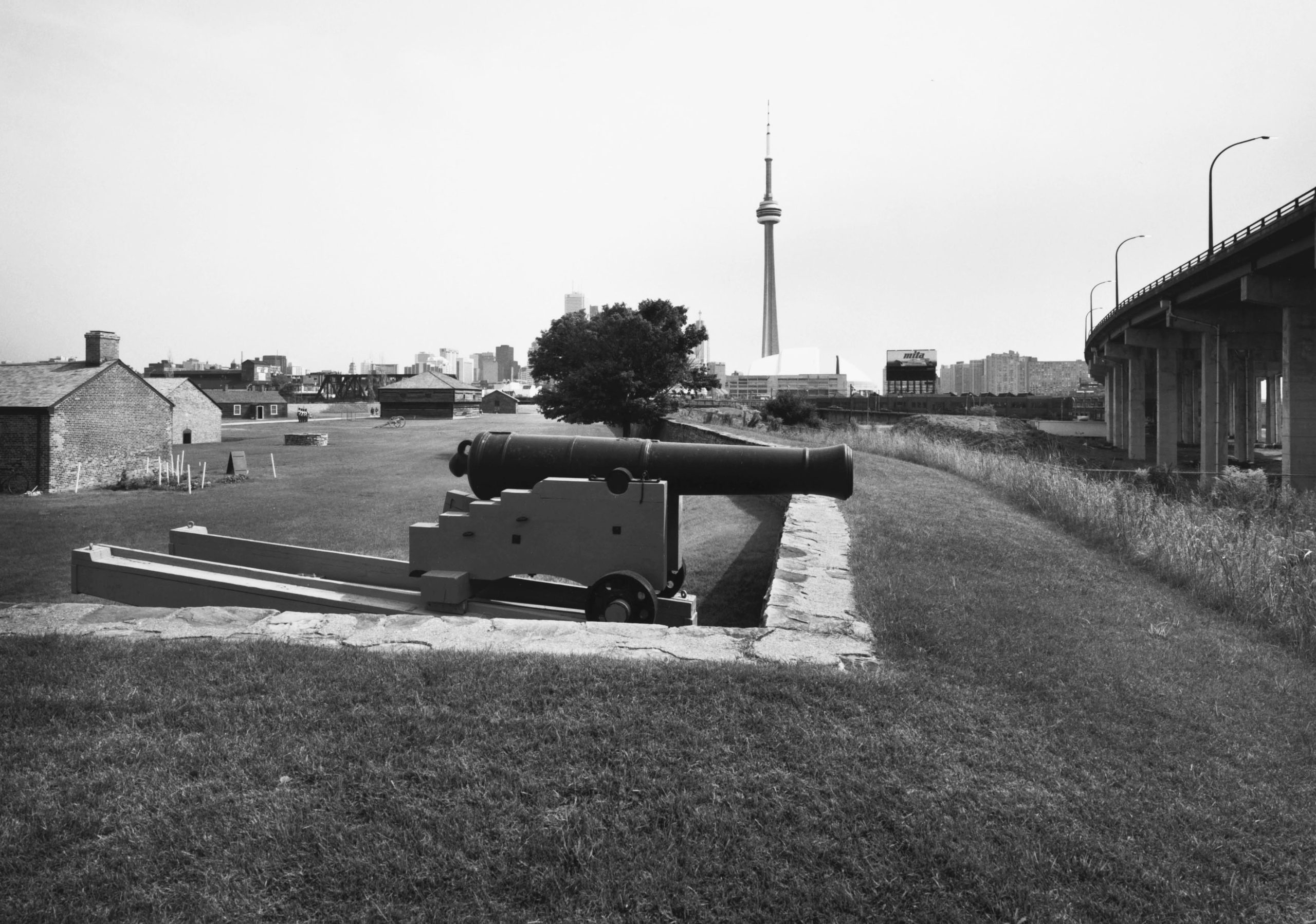
The bent of the Gardiner Expressway flanking the west side of Bathurst Street currently functions as the eastern entrance to the Bentway, but when I photographed it in 1998, it framed an open vista stretching west toward Strachan Avenue.
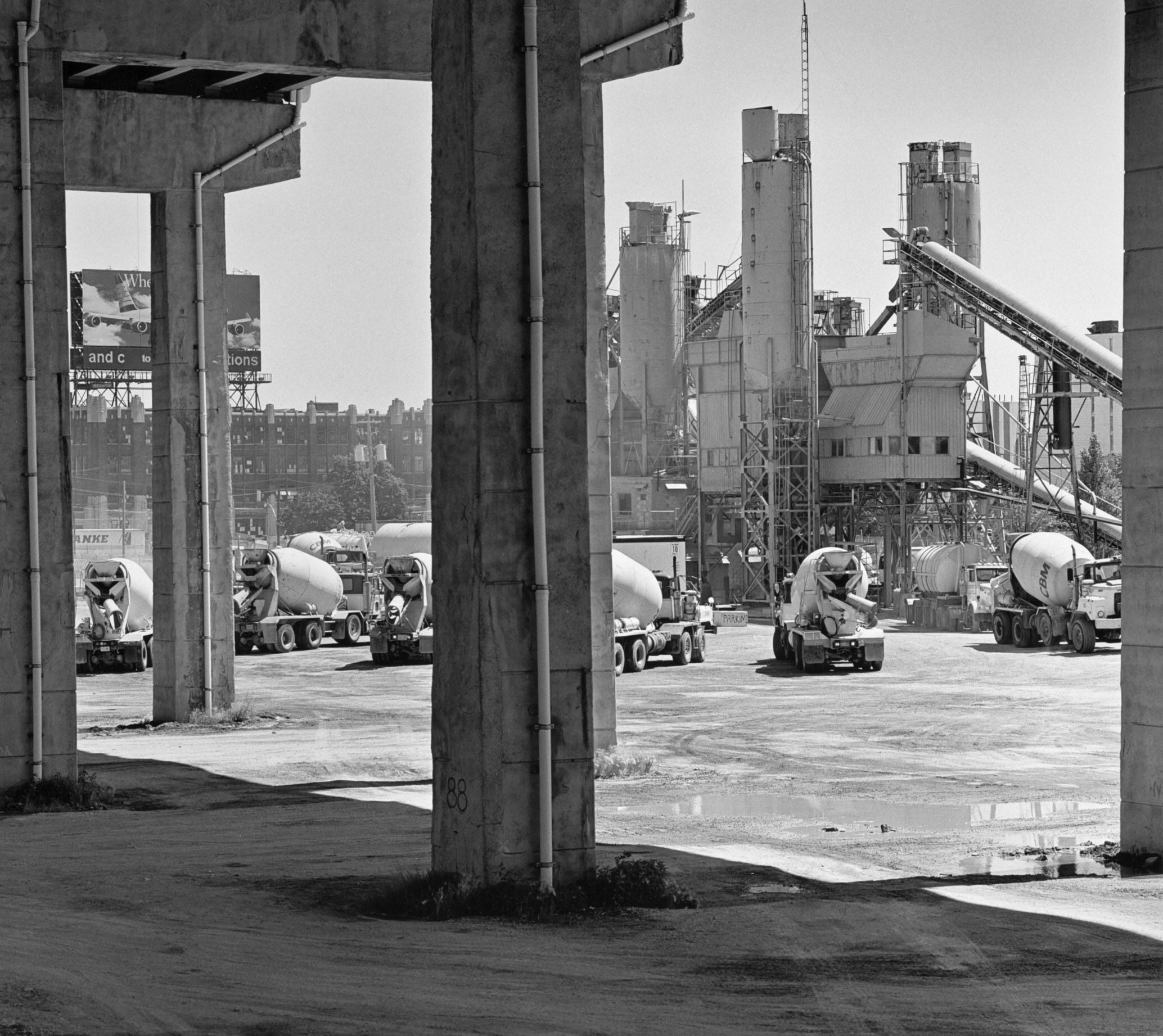
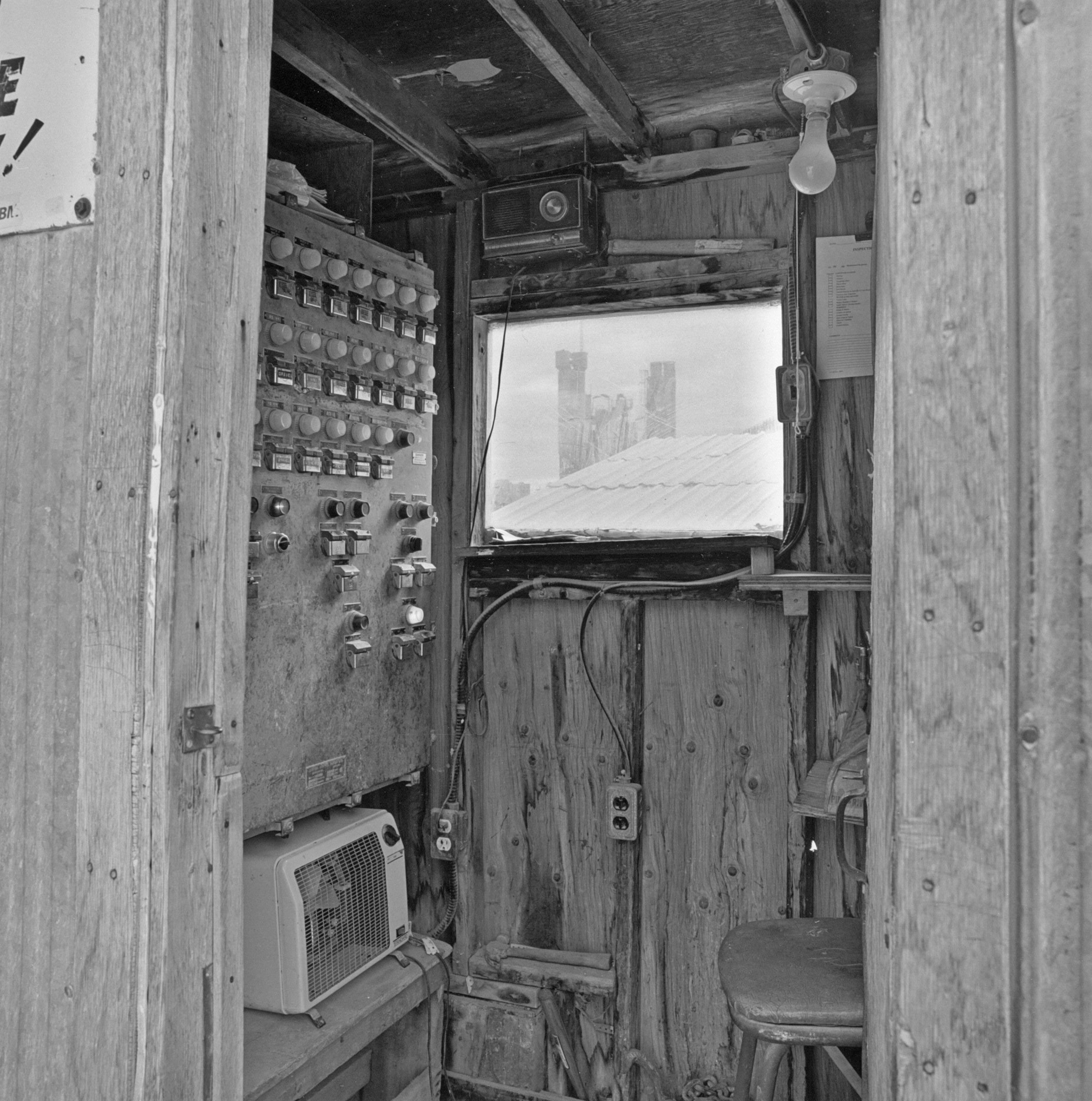
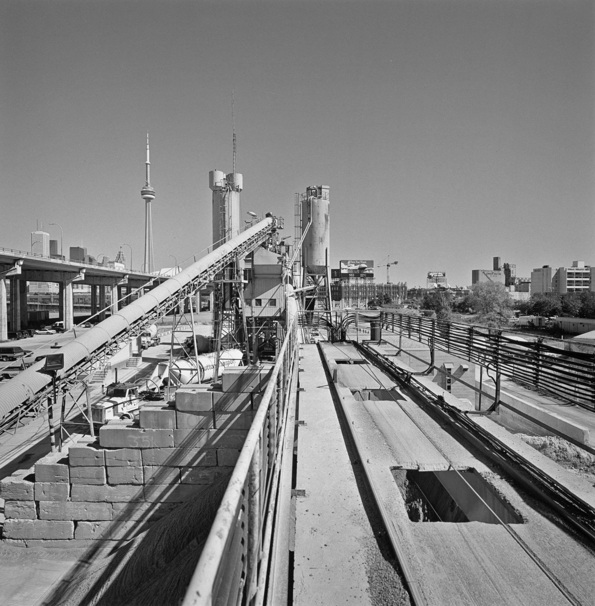
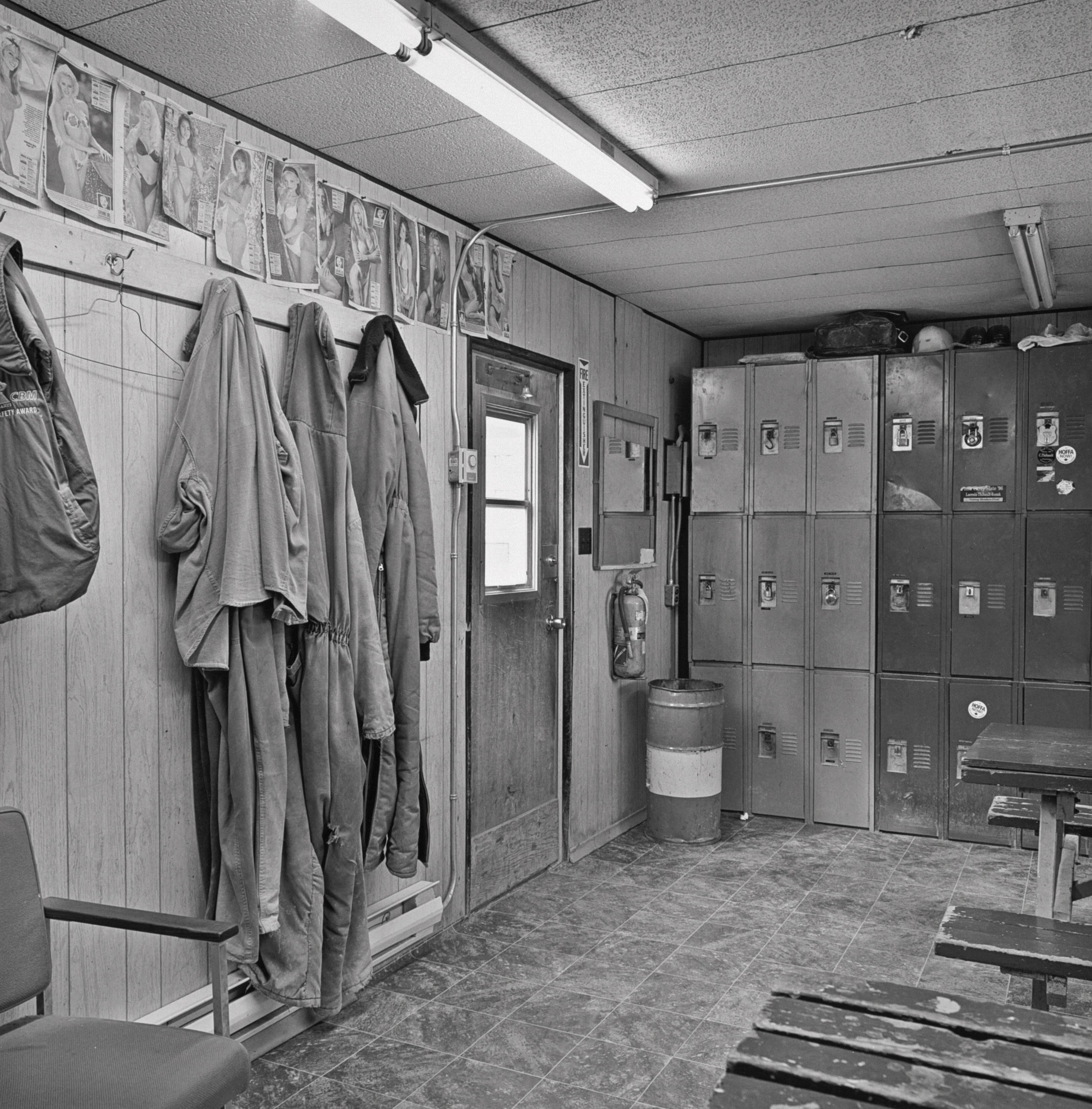
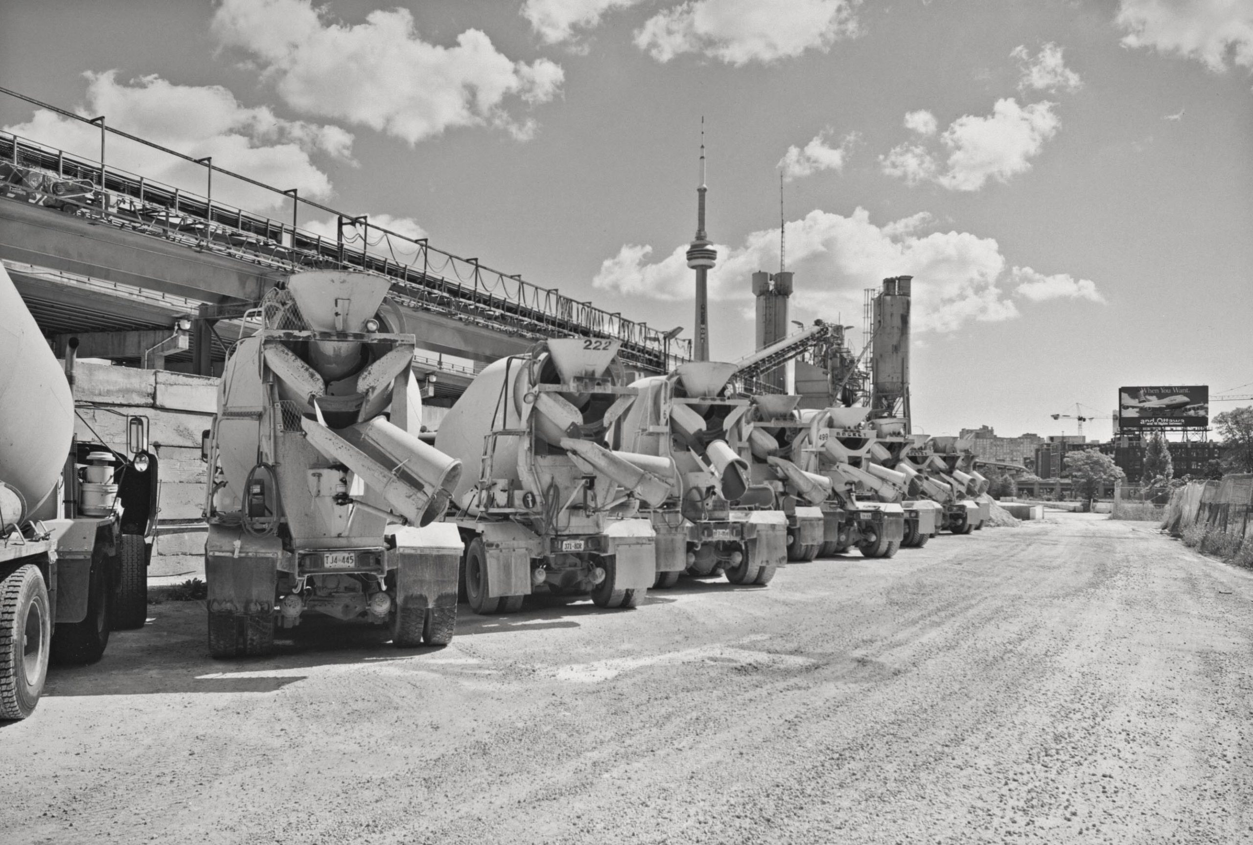
Sitting in middle of the flat plain to the southwest was a small curious-looking industrial complex, the Canada Building Materials concrete batching plant known as CBM Bathurst, which dispatched truckloads of ready mixed concrete to construction sites in the downtown core. This plant was one of the first subjects I photographed as part of my Concrete Industries project of 1998-2004, whose aim was to depict the life cycle of an essential building material.
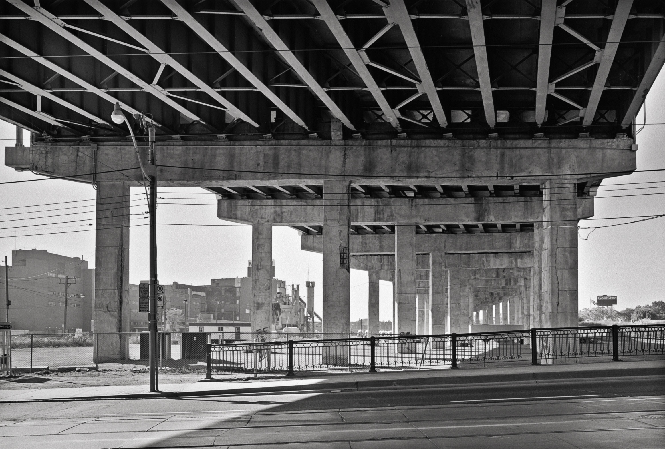
CBM Bathurst had opened in 1960, just as the Gardiner was being driven past Bathurst Street on a path that detoured around of Fort York. The plant was sited parallel to a group of existing rail sidings connected to the Spadina freight yards to the east. Direct rail access would have been an important advantage in the 1960s, when rail transport was still being used to deliver aggregates mined at quarries and sand pits outside the city.
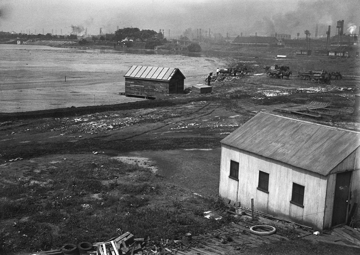
Like all the buildings in its neighbourhood, CBM Bathurst occupied land the Toronto Harbour Commission had created before 1927 by filling in Lake Ontario.
The fill material included sewage sludge, excavated material from construction sites, silt dredged from the harbour bottom and municipal garbage. Public works photographer Arthur Beales documented this long term project for the Harbour Commission.
In 1960 the neighbourhood around the plant was still primarily industrial in character. Neighbours to the south included the Molson Brewery on Fleet Street, Tip Top Tailors on Lakeshore Boulevard and the Canada Malting plant at the foot of Bathurst. Directly across from the truck entrance to the CBM site was the former Loblaws Groceteria manufacturing and warehousing complex, which after 1983 would be occupied by the Daily Bread Food Bank.
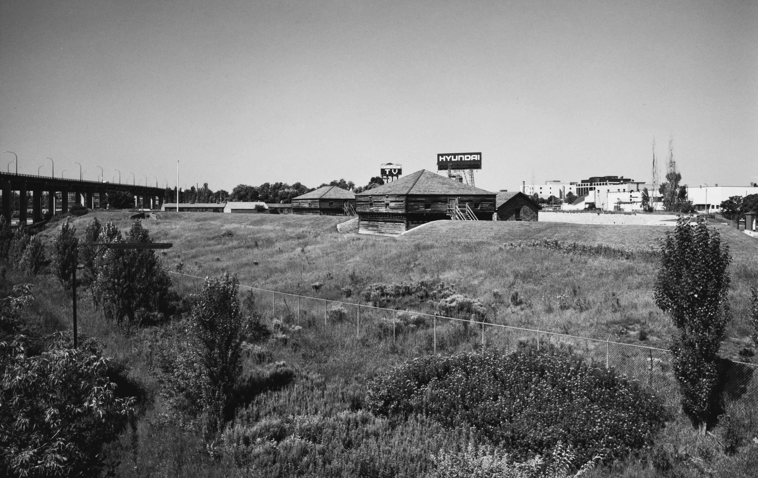
North of the CBM plant and the expressway, a wedge of scrubby forest separated Fort York from the industrial area. The abandoned, overgrown rail spur that ran through this green area has since been replaced by Fort York Boulevard and residential towers.
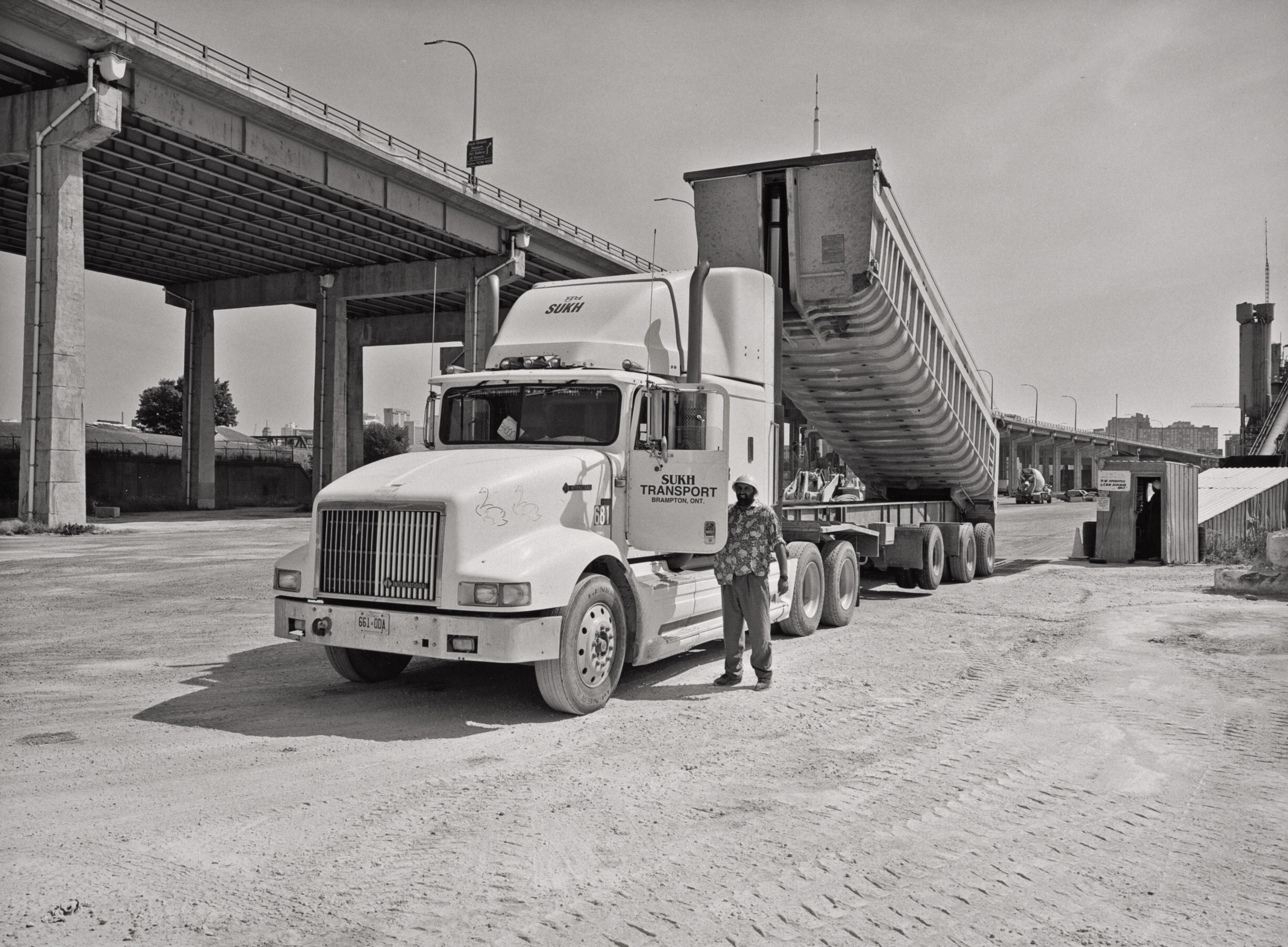
In 1998, CBM Bathurst was receiving its cement powder from the St Marys Cement plant in Bowmanville, crushed limestone from its quarry on the Niagara Escarpment near Acton, and fine aggregates from its Aberfoyle Pit south of Guelph. The rail connection was long gone, and materials were now delivered by truck, at a higher cost to the environment.
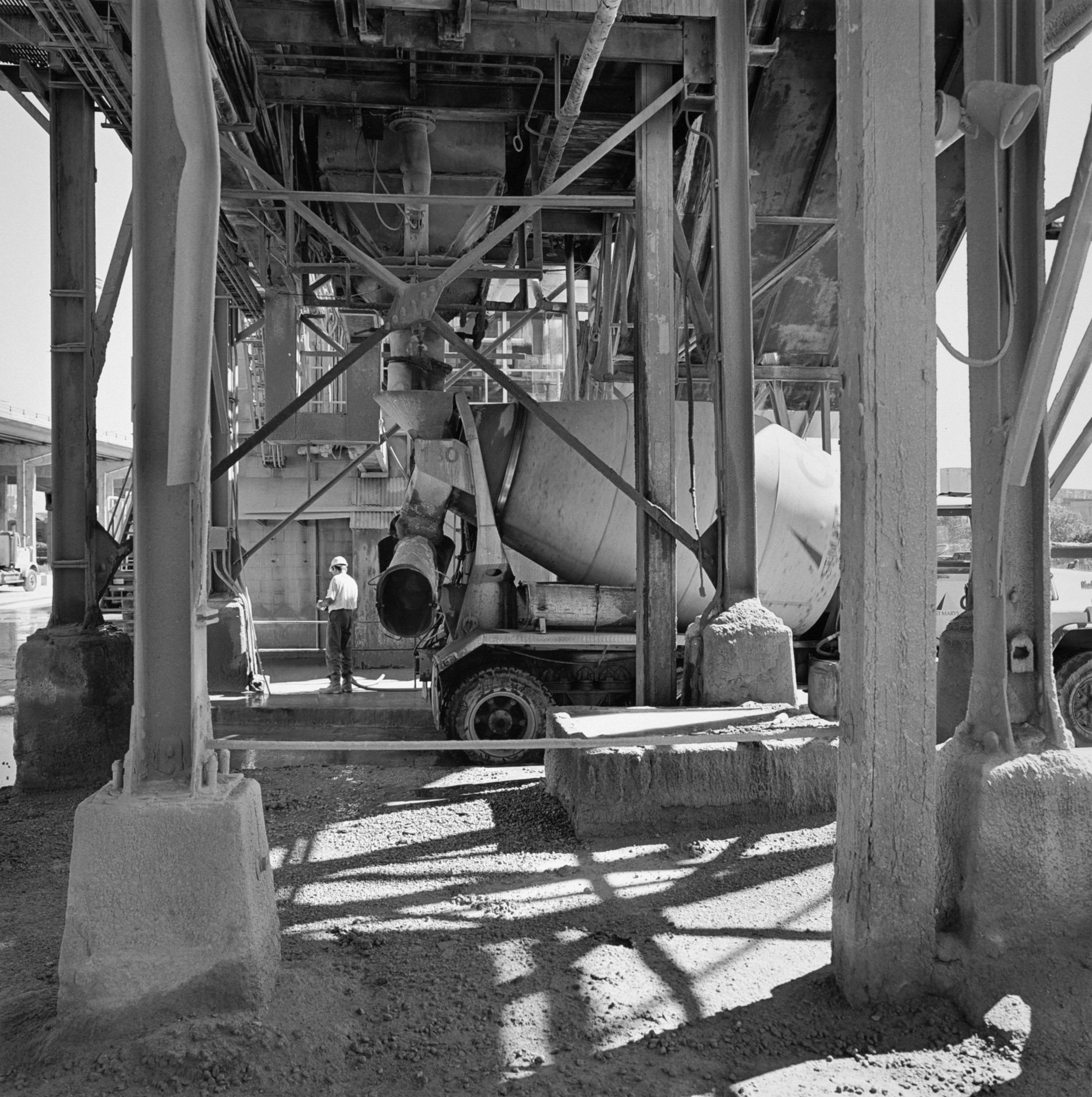
There were no fences around the batching plant, and its operations often expanded to fill the available space. Its main structure can be seen to exemplify what the renowned German industrial photographers Bernd and Hilla Becher called “anonymous sculpture.” One could imagine it as the bridge of a fantastic vessel that had remained moored in place during the filling in of the lake.
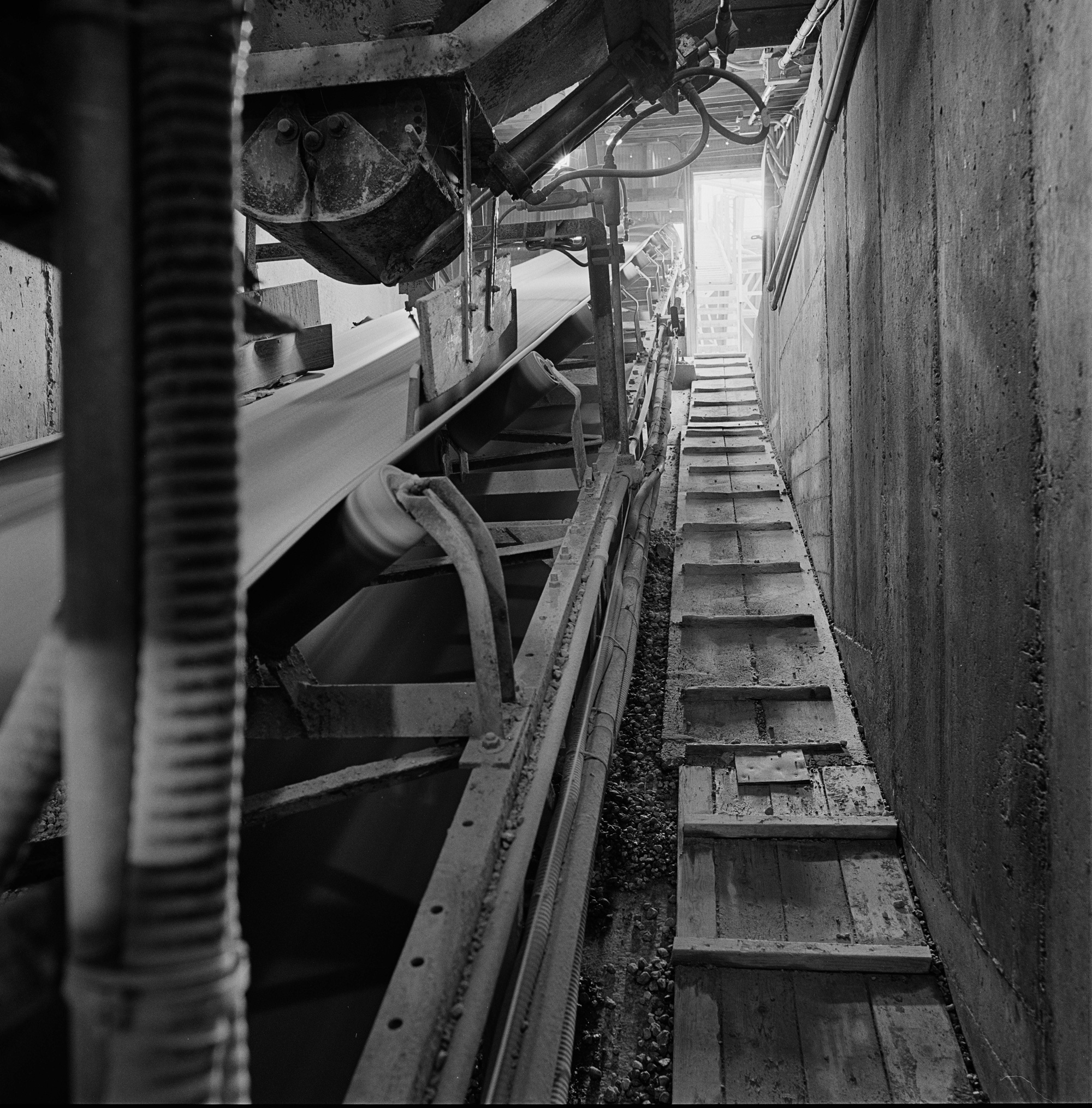
The plant operated by a combination of gravity feeds and conveyor belts. On arrival, aggregates were dumped into an underground hopper, from which they were conveyed to an elevated gallery and dropped into separate bunkers. A row of hoppers below the bunkers weighed out the aggregates, and conveyors carried them to the top of the plant where they were mixed with water and cement fed from the towering silos and dropped into the drum of the concrete truck.
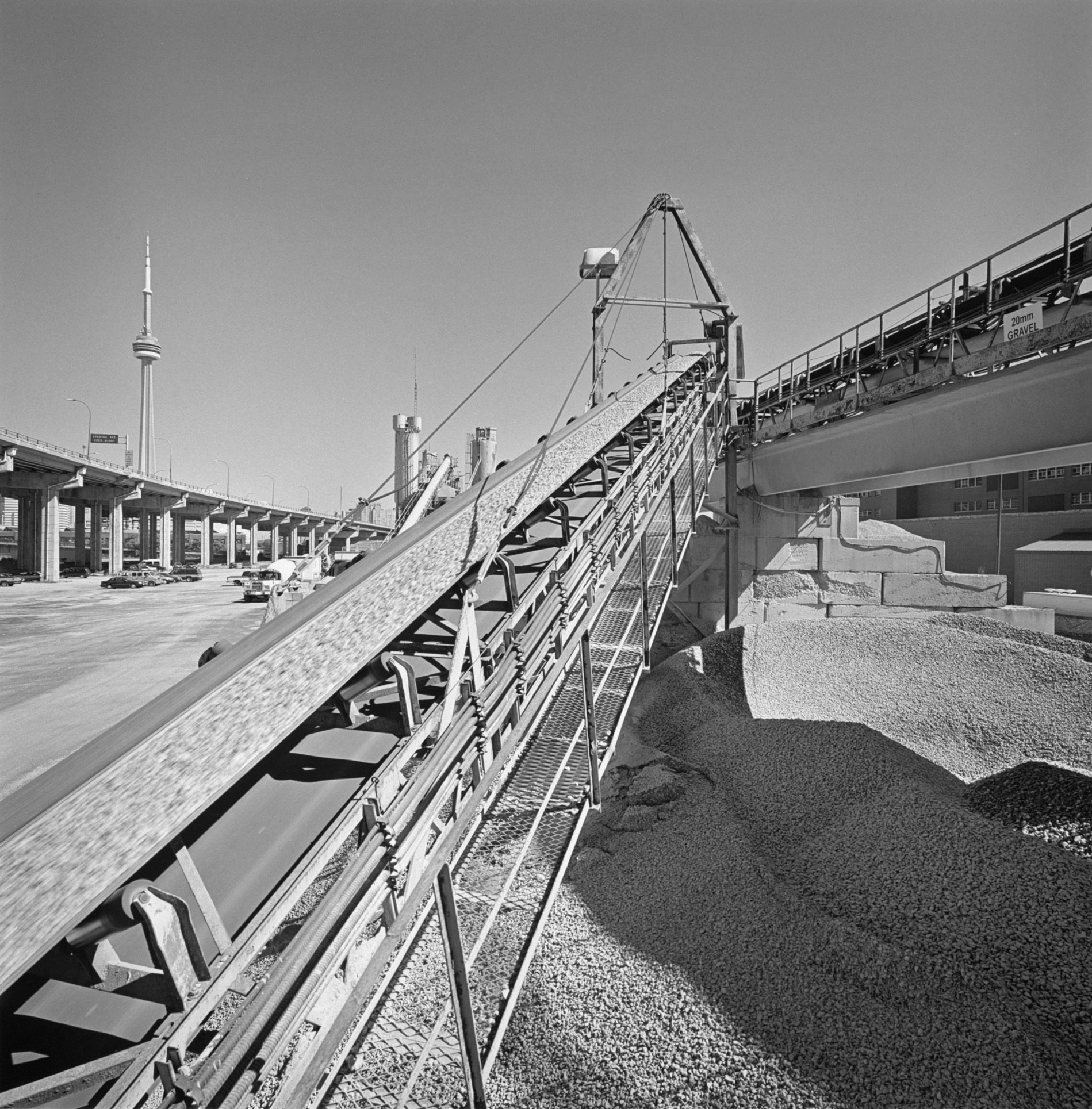
In 2009, the batching plant was forced to move to the newly established Concrete Campus in the Portlands, displaced by the very condominium development boom it had supported with its product. However, before it vanished, an archeological discovery nearby put its having been there in historical perspective.
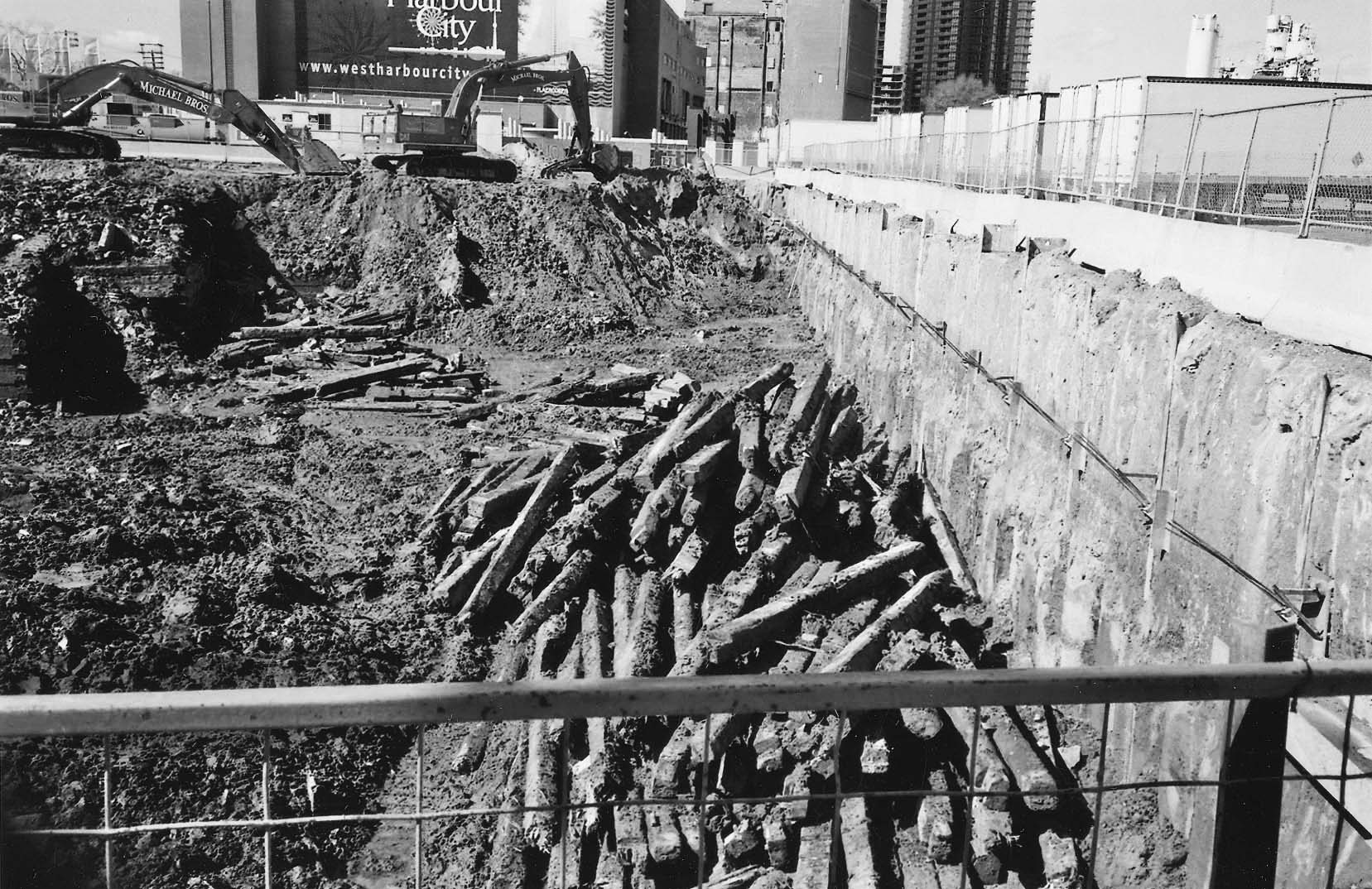
In the spring of 2006 a backhoe excavating the foundation for a new condominium at 600 Fleet Street uncovered a row of timber cribs belonging to the long-forgotten Queen’s Wharf, which had been built in 1830 but was later buried as the waterfront was extended.
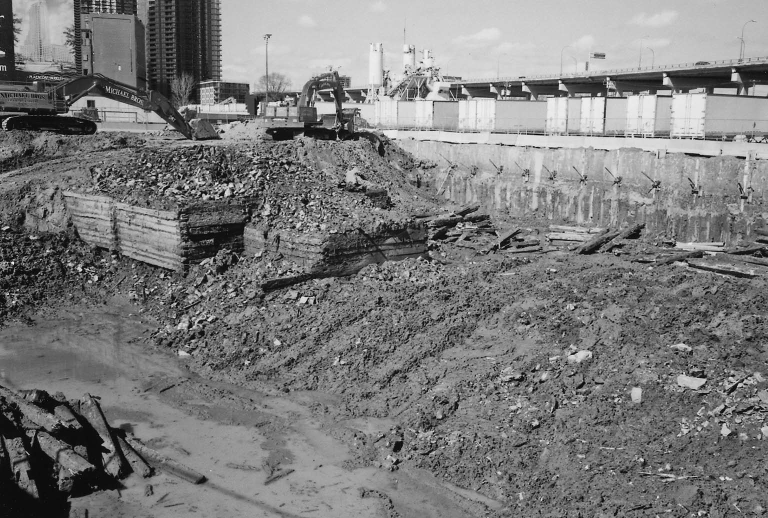
My mother and I visited the site one Sunday a short time after the discovery was reported, and I took several photos with her tourist camera through the fencing along Bathurst. In two of them the batching plant can be seen in the background. I was unaware when taking those snapshots that I was adding the final details to my documentation of CBM Bathurst.
Photogallery
Gift to Toronto Reference Library, 2021
Gift to City of Toronto Archives, 1984
Gift to City of Toronto Archives, 1984
All photos © Peter MacCallum unless otherwise specified.