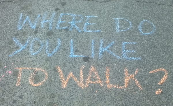
On Saturday March 1, the City of Toronto, with TCAT and Spacing, held the “Walk 21 Community Conference,” where eight local experts who had presented at the international Walk21 conference held in Toronto in October repeated their talks for free for the general public.
The community conference was an amazing success — almost 100 people showed up to hear the presentations, many of them staying for the whole day. It was great to see so much interest in walking issues from Toronto’s citizens.
Some of the presenters have kindly agreed to post their presentations on the community conference website. There are four so far, and a few more may be added.
As well, for those who are interested, all of the papers (dozens of them) from the international Walk21 conference in October are now available on the Walk21 website. Many of these papers are really interesting, and I encourage people to check them out.
Here are a few interesting notes I took from the first set of presentations at the March 1 community conference, to whet people’s appetites.
Dr. Gillian Booth talked about the correlation between car-dependent, walking-unfriendly neighbourhoods and the rapid expansion in the incidence of Type 2 diabetes (she noted it used to be called “adult-onset diabetes” but now children are getting it too). Apparently studies have shown that people living in areas built after 1971 in the US, when car-dependent subdivision plans became the norm, are noticeably less likely to walk during the day. By contrast, the mere presence of sidewalks has been correlated to higher rates of walking. Which makes me wonder, why are developers still even allowed to continue building using the car-dependent subdivision model? Shouldn’t we be going back to the walking-friendly grid pattern, or working on some new way of organizing new developments?
Check out the remarkable and disturbing Toronto diabetes atlas at www.ices.on.ca . It’s striking how closely it is correlated to the gentrification map published late last year — more on that later.
Yue Li talked about the impact of winter on walkability. She pointed out that walking brochures and plans like the city’s “Steps Towards a Walkable City” generally only show walking environments in the summer. Winter, she noted, has a major impact on walkability, and can make a usually fully accessible street design no longer accessible. Apparently, even in climates without snow, injuries from walking slips and falls (notably among seniors) increase in the winter, probably because, as her research shows, people walk faster in uncomfortably cold weather, which makes them less sure-footed.
Paul Young talked about how to get citizens involved in working for better active transportation alternatives in their communities. He advised activists to “Start where people are at” — that is, start from the concerns that they already have, address those, and then work from there. For example, often health and safety issues are more immediate to people than more abstract environmental issues, and make a good place to start from. He gave the example of how, when he was working with others to push the Dundas East bike lane, getting parents involved because they saw the benefits of traffic calming for the safety of their children made a big difference in the campaign’s effectiveness.
I didn’t make as many notes about the later presenters, but they were equally fascinating and some of them can be seen online. Have a look in particular at Chris Hardwicke’s examples of old, unsuccessful street beautification projects (lonely benches, dead trees) on Kingston Road. They show that a few pretty details are not enough to change a street — deeper structural changes need to be made.
Finally, I liked ending the day with Amy Lavender Harris’ insight that “desire lines” — the description of the unofficial paths pedestrians make to get where they want to go — is a rather romantic term.


2 comments
The papers posted at the Walk 21 website have not been properly formatted for the web resulting in this type of problem:
They jointly represent a way to not only greatly reduce peak demands for both roads and parking lots à ¢â‚¬â€œ which increases sprawl à ¢â‚¬â€œ but to make the way cars are driven more pedestrian-friendly. MASC reduces OPOCOà ¢â‚¬â„¢s à ¢â‚¬Å“drive to driveà ¢â‚¬Â by: a) shifting costs from fixed to variable, eliminating car-ownersà ¢â‚¬â„¢ efforts to do extra driving to amortize $6000-12,000/year invariable costs
Sorry to hear there are some technical issues with the papers on http://www.walk21.com. I’ll follow-up with the staft there to get it corrected.