In conjunction with the second part of The Viaducts: Past, Present and Future series, this photo essay looks current images of the Georgia and Dunsmuir viaducts.
Photo provided by UBC’s Landscape Architecture LARC502B class
Text by Brian Gould and Erick Villagomez, re:place Magazine
The first part of this series looked at historical imagery of the original Georgia St viaduct from the time it was built, in 1915, to the 1970s when the its modern counterparts were constructed as fragments of Vancouver’s failed freeway plan. Having never had the opportunity to be integrated into the destructive highway network, the Georgia and Dunsmuir viaducts currently stand – as the photographs in this series clearly show – as over-engineered, out-of-place relics of auto-oriented planning.
Despite the recent integration of the separated bike lane, the conspicuous stature of these elements in the city is that much more odd in light of the drastic shift in city planning thought that has occurred since the time of their creation: one that is now actively striving to focus attention away from car use to more diverse modes of transportation and livable models of urban living. Add to this fact that these over-sized elevated roads lie on extremely valuable land adjacent to the built-out downtown core as well as the last undeveloped piece of the False Creek waterfront, and the precarious future of the viaducts is readily understandable.
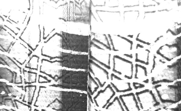
On the ground, the viaducts – in tandem with the Skytrain line that slides below them – create a daunting barrier that detaches Chinatown and the surrounding areas from the waters of False Creek in every way. Although the Vancouver Skate Plaza below the eastern sections of the viaducts has gone a long way to humanize the oppressive environment in that location – and ironically immortalized the viaducts shadowy underbelly in countless skateboarding videos – the spaces beneath the concrete infrastructure are largely neglected and residual, with chainlink fences and asphalt slabs delineating forbidding, ominous nowhere spaces that ultimately divide the city from itself.
In stark contrast to the latter, the act of going across the viaducts is something exhilarating. With wonderful views of the city against a backdrop of the North Shore mountains (through one of the Vancouver’s many protected view cones) and, to the south, the newly constructed Olympic Village rising from the waters of False Creek, the viaducts are one of the most unique public spaces in the city. As such, they have the potential to offer much more to offer city dwellers than quick car and bike access to the downtown core.
Ultimately, the challenge of the Georgia and Dunsmuir viaducts rests on resolving the sharp differences that exist below them and on it’s surface….a challenge that can only be met with creativity and vision.
****
To read The Viaducts: Past, Present and Future – Part 1, click here.
To see In Focus: The First Georgia Viaduct, click here.
To read The Viaducts: Past, Present and Future – Part 2, click here.
To read The Viaducts: Past, Present and Future – Part 3, click here.
To see In Focus: The Georgia and Dunsmuir Viaducts Re-imagined, click here.
***
The LARC502B class consisted of: Dan Borslein, Michele Campbell, Glenis Canete, Ania Duran, Matt Gibbs, Julia Hill, Laura Macdonald, Jordan Mcauley, Paul Peters, Terence Radford, Alex Suvajac, Ariel Vernon, and Mary Wong.
***
Brian Gould is a transportation planner, urbanist, advocate, and recent graduate of the Master of City Planning program at UC Berkeley.
Erick Villagomez is one of the founding editors at re:place. He is also an educator, independent researcher and designer with academic and professional interests in the human settlements at all scales. His private practice – Metis Design|Build – is an innovative practice dedicated to a collaborative and ecologically responsible approach to the design and construction of places.