
Parks
-
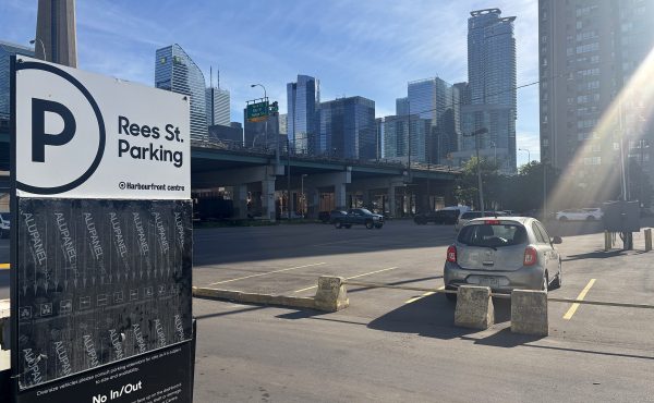
Rees Park: The rug that can tie the post-FIFA waterfront together
The waterfront as an east-west canvas for events and animation in Toronto will show its potential like never before during the upcoming FIFA World Cup...
By Tim Kocur -
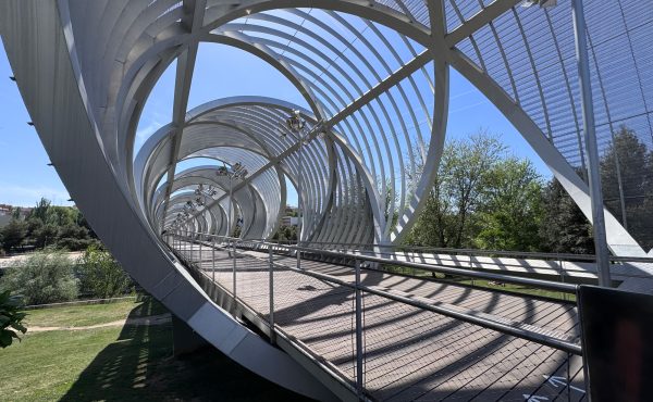
OP-ED: Invitation as Urban Policy
This spring, at Bloomberg CityLab in Madrid, social prescribing reached the agenda of the world’s largest cities summit for the first time. It was a...
By Kate Mulligan -
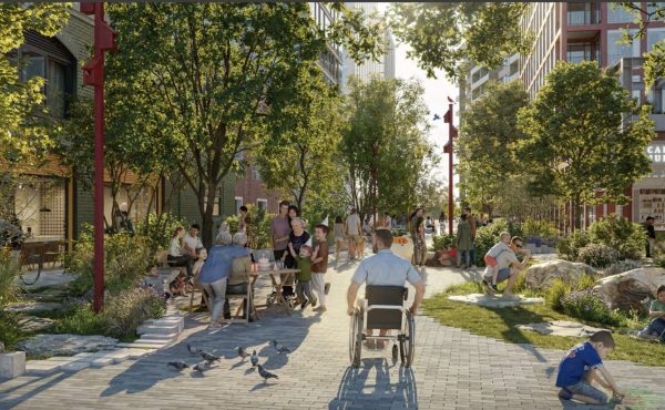
LORINC: The finicky business of planning Ookwemin Minising
The City of Toronto and Waterfront Toronto have been futzing around with the zoning for Ookwemin Minising, formerly Villiers Island, for going on a decade...
By John Lorinc -
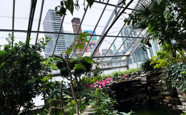
Spreading the warmth
In the free conservatory at Allan Gardens park in downtown Toronto, the glass houses hold warm air, vibrant plant life, moving water, and a quiet that...
By Alex Kharabian -
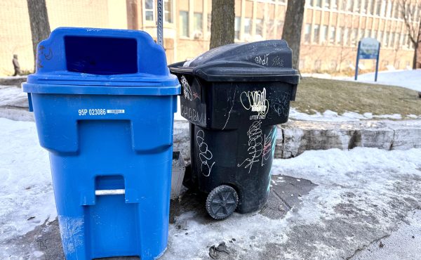
In praise of ugly park trash bins
As Astral’s wretched street furniture deal limps towards its inevitable conclusion, Toronto’s litter bins are back in the news, although...
By John Lorinc -

PODCAST: Spacing Radio 92, Resolutions for Toronto leadership
The October 2026 Toronto election may seem like a long way off, but intentions to run have already been declared and campaign plans are well underway. So...
By Spacing Radio -
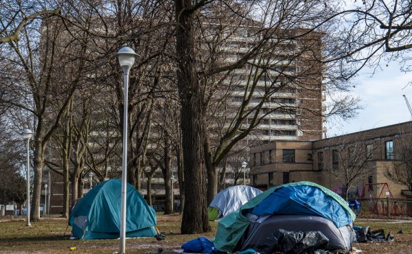
When did we start describing opioid addiction as “delinquent” behaviour?
In a widely read, shared and commented upon column in Saturday’s Globe and Mail, columnist Robyn Urback asked a question that, I’d say, is on...
By John Lorinc -
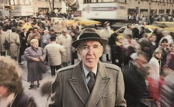
Do Toronto’s small urban spaces have a social life?
BACK BY POPULAR DEMAND: The John H. Daniels Faculty of Architecture, Landscape and Design will be screening The Social Life of Small Urban Spaces this...
By John Lorinc -
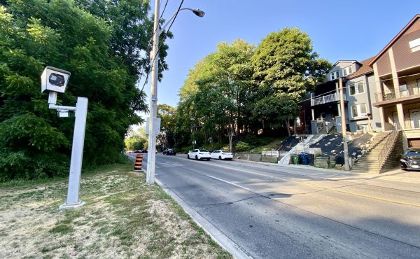
It’s not about speed cameras on Parkside
Unless you live in a hermetically sealed box, you likely know that the serial be-heading of the speed camera on Parkside Drive has mutated from a weird...
By John Lorinc -
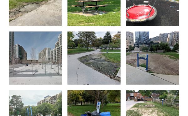
Toronto Parks Need a Reboot
Recent Auditor General reports exposed deep-rooted inefficiencies and systemic issues in Toronto’s Parks & Recreation (P&R) Division. Despite...
By Fadi Masoud -
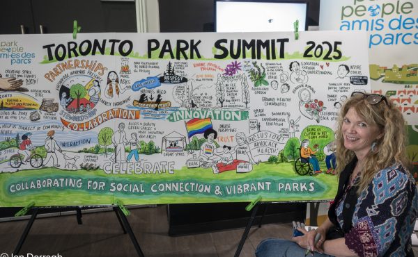
Making Toronto’s parks more accessible
Toronto Mayor Olivia Chow dropped in on the annual conference of Park People, a national non-profit that advocates for urban parks, to make a welcome...
By Ian Darragh -
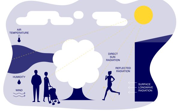
OP-ED: Feeling the thermal comfort
Nathan Phillips Square is one of Toronto’s most iconic landmarks – its open plaza and the modernist curves of City Hall are fixtures in the city’s visual...
By Dorsa Jalalian, Kristina Reinders, Rong Yu