

 Brougham, a small village at the corner of Highway 7 and Brock Road in Pickering, doesn’t quite make the usual criteria for a “lost village” – urban sprawl is still far from overtaking the historic buildings, and the village looks much like it did 20 or 50 years ago.
But it is a lost village – or even a bona fide ghost town – in the making, and has been since March 2, 1972. On that date, the Government of Canada selected northern Pickering Township – along with sections of Uxbridge, Markham and Whitchurch Townships – as the site of a new Mirabel-sized international airport that would eventually replace Malton Airport (now Pearson) as Toronto’s primary airport. Brougham – in its entirety – was now the southeast corner of this 18,000 acre (72 square kilometre) land mass that then had to be expropriated. I have touched on the subject of the Pickering Lands before here on Spacing Toronto.
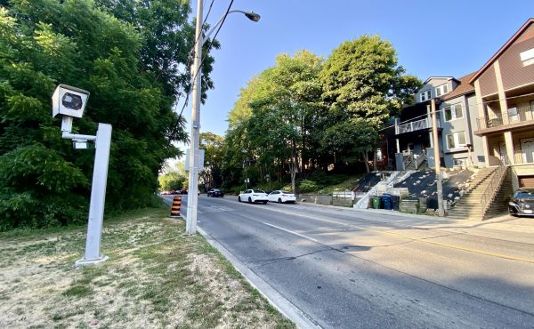
Before the federal announcement, Brougham was a small, yet growing, community, with a school, several churches, businesses and a community hall. Commercial House, pictured above, is one of only a few roadside taverns left in the GTA. Today, Brougham is largely by-passed by the extension of Highway 407, which skirts the southern boundary of the airport lands.

When the brakes went on in 1975, Brougham and the huge parcel of Class I farmland to its north and west was frozen in time, owned by the Government of Canada and rented out to farmers and residents (many of which were the former land owners). As only minimal repairs were taken on by the landlord in anticipation of future construction, many houses – of which quite a number appear to be exurban ranch houses built in the 1950s, 1960s and early 1970s – were simply vacated and boarded up. Approximately one-quarter to one-third of all houses in Brougham are now vacant.

Most ghost towns become such for several reasons – the local economy (be it resource extraction, farming, or manufacturing) was decimated and locals left, transportation corridors (such as a railway or a freeway) bypass the community, pulling locals away, or environmental reasons – soil instability, underground fires, or permanently evacuated due to a disaster. This one was caused by a Ministerial Order.

Futher reading:
Walter Stewart Paper Juggernaut: Big Government Gone Mad (McCelland and Stewart, 1979) Available at the TPL
A good primer into how, and why Mirabel and Pickering were chosen as airport sites, and the community opposition that followed.
Greater Toronto Airports Authority Pickering Airport Draft Plan (2004)
12MB PDF
Full of maps of all that Class I soil and lands expropriated. A justification for building a regional/reliever airport.
4 comments
Looks like a good place for a squat.
Just a few years ago Brougham was a quaint little village where you could pick up some antiques or maybe a snack while on your way to the forest. Just like many communities across north Toronto, the 407 has caused disruption and rerouted local roads.
The first photo (Commercial House)shows the lovely building that has been our home since 1982. We are very proud that we kept this one treasure from being burned down or knocked down, like most of the heritage properties that used to be our neighbours. We’re still optimistic that the entire Hamlet of Brougham can be revitalized, maybe some of you would like to join us. A few of the nicest spaces are actually available for rent – including the amazing Bentley House. Squatting might work. Rolling up your sleeves and working incredibly hard might work better. We know there’s hope, so do the people who recently opening the antique store across the street, and the guy who opened the new restaurant next to the antique store. What’s your dream?
I’m in. Hard work never hurt anyone. How do I find out whats for rent???