
Waterfront
-
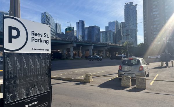
Rees Park: The rug that can tie the post-FIFA waterfront together
The waterfront as an east-west canvas for events and animation in Toronto will show its potential like never before during the upcoming FIFA World Cup...
By Tim Kocur -
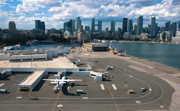
Jet Dreams on Toronto Island (Part 2)
This is the continuation of Jet Dreams on Toronto Island (Part 1). The chief obstacle to expanding Billy Bishop Toronto City Airport is geography – the...
By Ian Darragh -
Jet Dreams on Toronto Island (Part 1)
Premier Doug Ford and the Toronto Port Authority, the federal agency that owns Billy Bishop Toronto City Airport, have been extraordinarily secretive...
By Ian Darragh -
LORINC: The finicky business of planning Ookwemin Minising
The City of Toronto and Waterfront Toronto have been futzing around with the zoning for Ookwemin Minising, formerly Villiers Island, for going on a decade...
By John Lorinc -
The politics of Island Airport during election year, Part II
From where I sit, Doug Ford’s triumphalist yodelling this week about the Toronto Islands airport sounds much less like an expansion plan than a...
By John Lorinc -
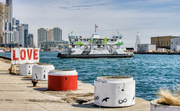
Why the Trillium should find new life on the waterfront
By Toronto standards, it is a borderline miracle that the Trillium ferry is still operational. Built in 1910, two years before the Titanic, the city’s...
By Oliver Hierlihy -

Who’s behind the deep-pocketed private equity firm that’s bought into Therme?
Back in the summer, Therme went public with a somewhat perplexing development in its corporate life — a €1 billion merger of its two, somewhat related...
By John Lorinc -

Running the City
Dawn doesn’t so much break over Toronto on marathon morning as creep in behind the sound of trucks, radios, and zip-ties. Streets that usually hum with...
By Alex Kharabian -
EVENT: On the Edge – Photographs of Toronto’s Downtown Waterfront 2023-2025
The fifty photographs in the exhibition On the Edge – Photographs of Toronto’s Downtown Waterfront 2023-2025 collectively present a record of the...
By Spacing -
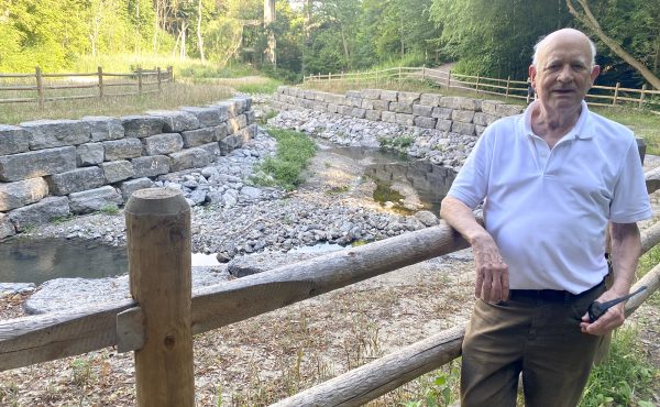
The long battle for Yellow Creek Ravine
Because the summer of 2025 has been all about infernal heat and drifting smoke, as opposed to the Biblical downpours of recent years, the public/media...
By John Lorinc -

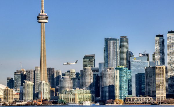
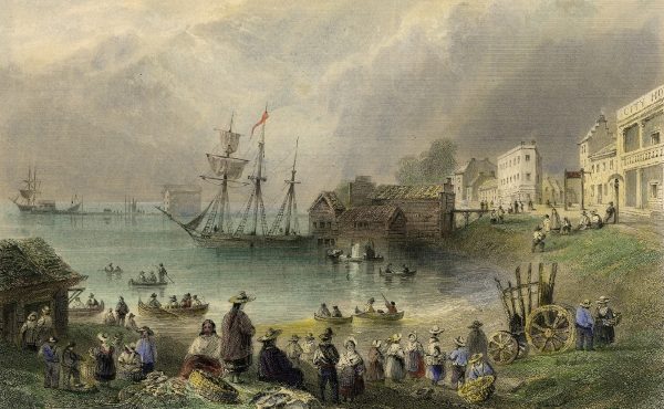
NEW ISSUE: On the waterfront
We think of the Toronto islands as a nice-to-have, a lovely space for recreation and escape from the city. But in fact Toronto owes its very existence to...
By Dylan Reid -
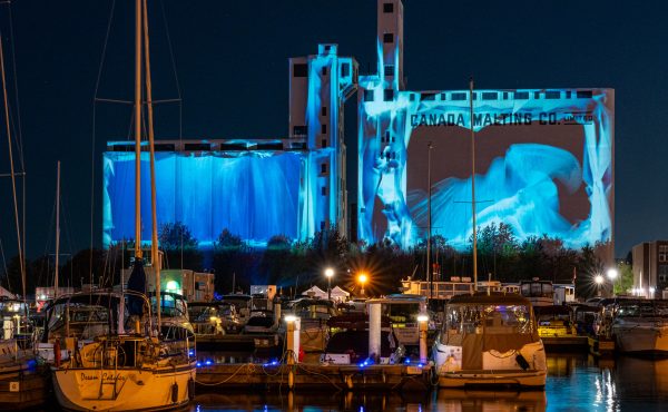
Marking Lake Ontario’s lost shoreline
This article is published in conjunction with Spacing issue 71, which focuses on Toronto’s waterfront. The issue will be available shortly at the...
By Chris Bateman