Maps
-
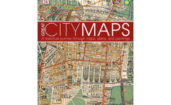
Book Review – Great City Maps
Author: DK Publishing (2016) “A map is the greatest of all epic poems. Its lines and colors show the realization of great dreams.” – Gilbert H. Grosvenor...
By Chris Bruntlett -
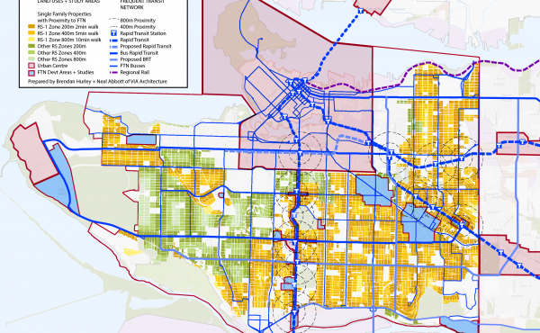
Monster Home: A Connective Community Approach to Single Family Housing Districts
There is no question that Vancouver is a densifying city. Despite all the excitement and acrimony that comes with that prospective change, the majority of...
By Brendan Hurley -
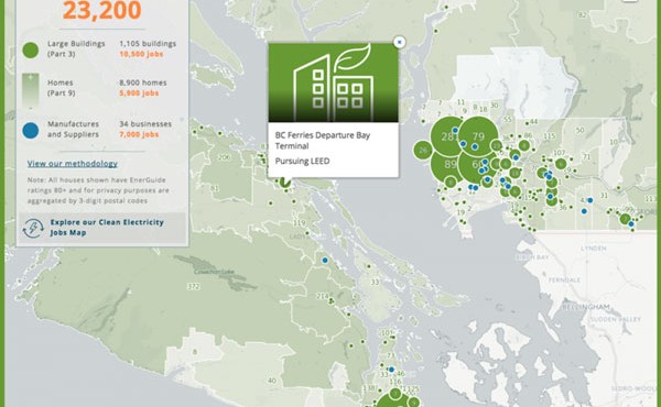
Is B.C. home to a green building renaissance?
By Karen Tam Wu France was a hub of the Renaissance, an era that saw landmark buildings built in Paris, including parts of the Louvre. So it was fitting...
By Pembina Institute -
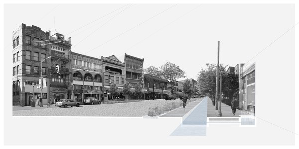
Water Urbanisms
Vancouver is a rainy city surrounded by water. It is part of the Pacific Northwest, a place whose regional identity is almost wholly linked to its natural...
By Nuala O'Donnell -
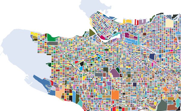
Cartographically Speaking: Vancouver Coloured Block Map
For a larger version, click here. This has been a long time coming. After the creation and publication of the Vancouver Neighbourhood Puzzle, here is the...
By Erick Villagomez -
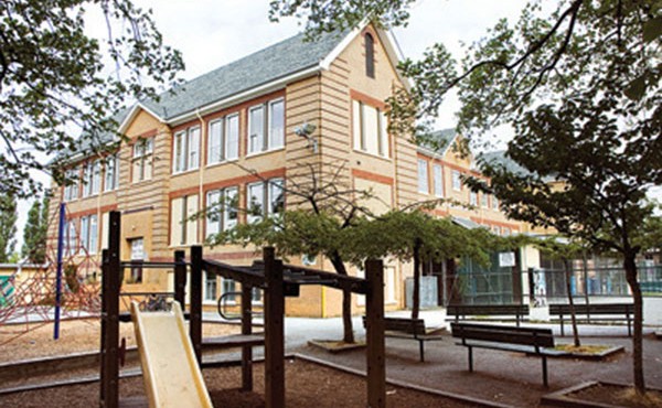
Schooling Vancouver
The ongoing challenges surrounding public education in Vancouver has been heating up recently as the deadline to submit a final budget for the upcoming...
By Erick Villagomez -
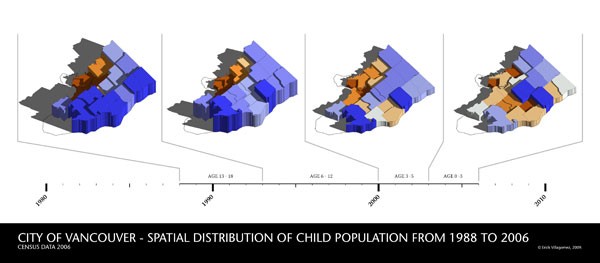
Cartographically Speaking: Where are the kids? – Epilogue
For a larger version, click here. [Editor’s Note: This is the final piece of a five-part series looking at the spatial distribution of children...
By Erick Villagomez -
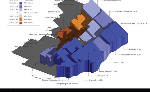
Cartographically Speaking: Where are the kids? – 13-18 years
For a larger version, click here. [Editor’s Note: This is the fourth of a five-part series looking at the spatial distribution of children throughout...
By Erick Villagomez -
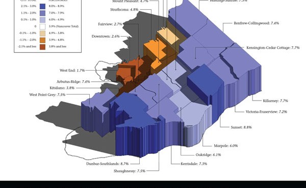
Cartographically Speaking: Where are the kids? – 6-12 years
For a larger version, click here. [Editor’s Note: This is the third of a five-part series looking at the spatial distribution of children throughout...
By Erick Villagomez -
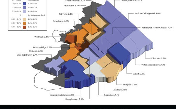
Cartographically Speaking – Where are the kids? – 3-5 years
For a larger version, click here. [Editor’s Note: This is the first of a five-part series looking at the spatial distribution of children throughout...
By Erick Villagomez -
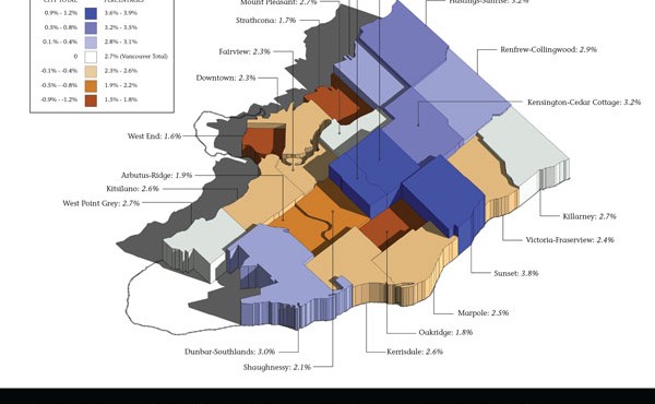
Cartographically Speaking: Where are the kids? – Under 3 years old
For a larger version, click here. [Editor’s Note: This is the first of a five-part series looking at the spatial distribution of children throughout...
By Erick Villagomez -
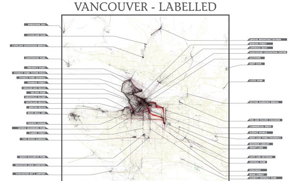
Cartographically Speaking: Eric Fischer’s Geotagged Vancouver – Labelled
To see a larger version, click here As most people know, the digital age has created renaissance in cartography, and it seems as though amazingly rich...
By Erick Villagomez
